What is recorded here
Situated on a N-facing slope. The cropmark of a small enclosure (int. diam. c. 13m) is visible on an oblique aerial photograph (CUCAP: AYM 024) from July 1969. It is also visible on OSI images (1995), Digital Globe (2011-13) and Google Earth (12/07/2013, 21/07/2021). Enclosure (LH014-105----) is c. 40m to the ENE.
See the attached enhanced view from Digital Globe (2011-13)
The above description is derived from both the published 'Archaeological Inventory of County Louth' (Dublin: Stationery Office, 1986) and the 'Archaeological Survey of County Louth' (Dublin: Stationery Office, 1991). In certain instances the entries have been revised and updated in the light of recent research.
Date of upload: 17 July 2007
Amended: 21 January 2022
The monument record does not grant public access. Check the route and ask the landowner before entering private land.
- What survives
- Recorded monument
Places near here
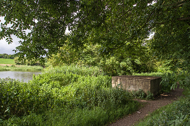 Enclosure in MullacloeEnclosure · 79 yd
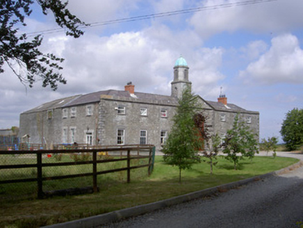 Enclosure in Mullacloe,rahannaEnclosure · 563 yd
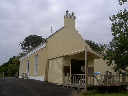 Mullacloe Housefarm house · 598 yd
 Site of Mullanstown CastleCastle, unclassified · 847 yd
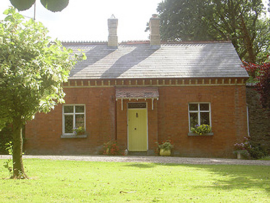 Rahanna Houseworker's house · 989 yd
 English hollyEnglish holly · 1641 yd
 European BeechEuropean Beech · 1642 yd
 The LissCastle, motte · 1.4 mi
 Sir Frederick Foster MemorialMemorial · 1.5 mi
 Graveyard in StickillinGraveyard · 2.7 mi
:no_upscale()/cdn.vox-cdn.com/uploads/chorus_asset/file/25593391/County_Louth_6th.jpg) LouthMountain / peak · 4.8 mi
LouthMountain / peak · 4.8 mi Mount OrielMountain / peak · 6.3 mi