What is recorded here
Three stones stood on the Annagh slope until the shoreline swallowed them, leaving only a map name and a hidden gap. Dredging in 1996 pulled one red monolith from the silt, proving the land had not forgotten but merely waited for disturbance. The bay takes what it wants and returns it only when machinery digs elsewhere.
In woodland, on a N-facing slope overlooking Kenmare Bay. There are no visible remains of the standing stones which are named 'Gallauns' on the 1846 OS 6-inch map.
The above description is derived from the published 'Archaeological Inventory of County Kerry. Volume I: South-West Kerry' (Dublin: Stationery Office, 2009). In certain instances the entries have been revised and updated in the light of recent research.
Date of upload: 30 May 2011
This remains an important historical record, but the official description says the monument is no longer visible or has been destroyed. The monument record does not grant public access. Check the route and ask the landowner before entering private land.
- What survives
- No visible remains or recorded as destroyed
Places near here
 Mucksna Nature ReserveNature reserve · 336 yd
 Site of Cromwells FortFortification · 340 yd
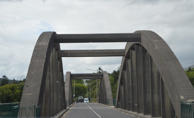 Kenmare Bridgebridge · 346 yd
 The Music Makersmonument · 348 yd
 Cleo GalleryGallery · 1096 yd
 Kenmare Stone CircleHeritage attraction · 1125 yd
 Monterey PineMonterey Pine · 1167 yd
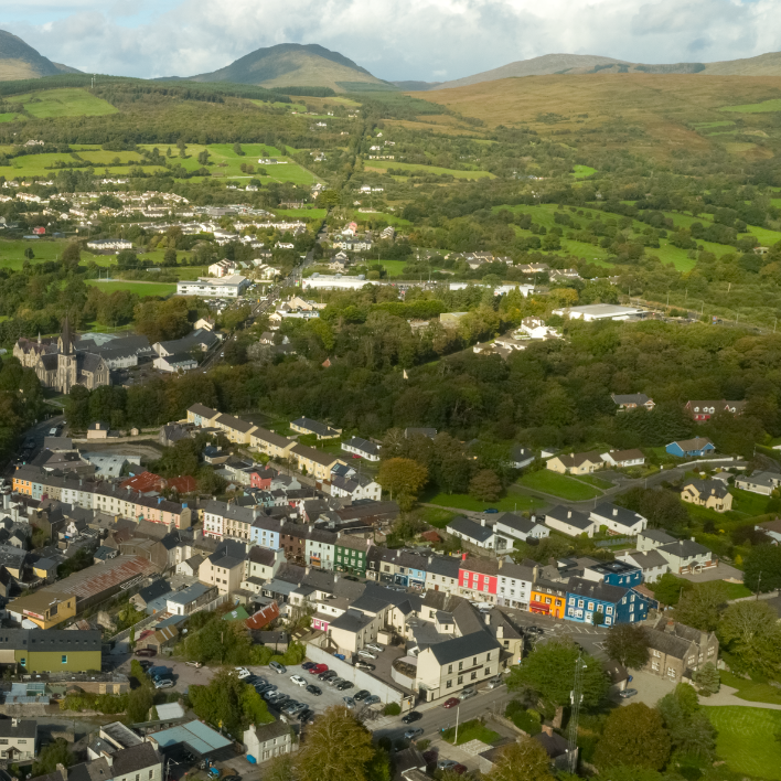 IndicatedEnclosure · 1184 yd
 Kenmare Heritage Town - Main StreetMemorial · 1296 yd
 Kenmare Tourist Information OfficeVisitor information · 1387 yd
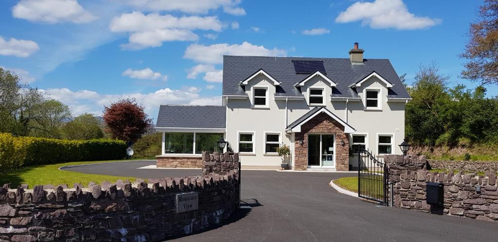 Mucksna MountainMountain / peak · 1.1 mi
 Dunkerron CastleCastle · 1.6 mi