What is recorded here
Indicated is a fifty-eight-metre earthen ring in County Cavan where a modern farmyard has swallowed the southern boundary and hidden the original entrance. The remaining bank still rises above the fields, marking a circular space where human hands shaped the earth before forgetting its exact purpose. It is a fort, a fairy fort or both, depending on whether you believe the boundary or the story.
Raised circular area (int. diam. c. 58m) enclosed by an earthen bank modified and incorporated into the field boundary and removed from ESE-S-SSW. Modern farmyard abuts the site from ESE-SE-S. Original entrance not recognisable.
The above description is derived from the published 'Archaeological Inventory of County Cavan' (Dublin: Stationery Office, 1995). In certain instances the entries have been revised and updated in the light of recent research.
Date of upload/revision: 22 December 2008
The monument record does not grant public access. Check the route and ask the landowner before entering private land.
- What survives
- Recorded monument
Places near here
 Moynagh Upper ForestForest · 823 yd
 Church in Carrick (clanmahon By.)Church · 1595 yd
 CarrickabaneMountain / peak · 1644 yd
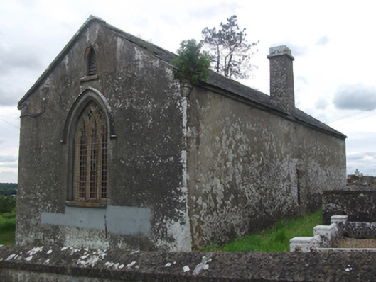 Drumloman Church of Ireland Churchchurch/chapel · 1.1 mi
 Carrick RockWood · 1.2 mi
 IndicatedFairy fort / earthen ringfort · 1.2 mi
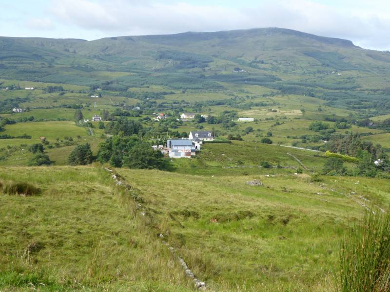 Tony FortArchaeological place · 1.6 mi
 CarrickMountain / peak · 1.8 mi
 Sporting RockIslet · 1.9 mi
 IdicatedCastle, unclassified · 2.1 mi
 Watty's RocksIslet · 2.1 mi
 Togher CastleCastle · 3.6 mi