What is recorded here
Moyge holds a broken fairy fort where a shallow earthen bank still circles a raised grass patch. The gap facing east and the missing western edge suggest people once entered, left, and let the field swallow the shape. A limekiln marked nearby on an old survey has vanished beneath pasture and forgotten work. What remains is a small round scar in the land, large enough to remember and faint enough to forget.
In pasture, on gentle NE-facing slope. Circular, slightly raised area (diam. c. 23m) enclosed by earthen bank (int. H 0.5m; ext. H 1m) except to E; external fosse infilled to NW and S with field clearance material, not clearly defined elsewhere. Bank nearly levelled on W side; gap in bank to NNE; no visible surface trace of limekiln depicted on 1842 OS 6-inch map to NNE. Surrounding field fences removed, enclosure used as dump for this material.
The above description is derived from the published 'Archaeological Inventory of County Cork. Volume 4: North Cork' (Dublin: Stationery Office, 2000). In certain instances the entries have been revised and updated in the light of recent research.
Date of upload/revision: 14 January 2009
The monument record does not grant public access. Check the route and ask the landowner before entering private land.
- What survives
- Recorded monument
Places near here
 Field system in MoygeField system · 712 yd
 Church (Site of)Church · 724 yd
 Castlehill BridgeBridge · 1.2 mi
 Castle (Site of)Castle, unclassified · 1.2 mi
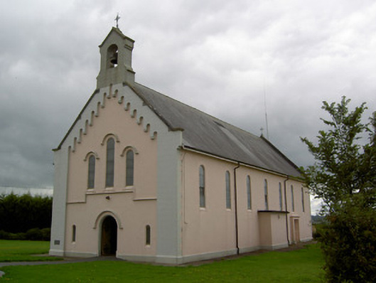 Saints Peter and Paul Churchchurch/chapel · 1.3 mi
 Windmill HillMountain / peak · 1.8 mi
 Liscarroll CastleCastle · 2.9 mi
 Battle of LiscarrollMajor battlefield · 3.0 mi
 Ballyhoura WayWalking route · 3.1 mi
 Churchtown TrailsVisitor information · 3.8 mi
 Lady's WellSpring · 5.0 mi
 Buttevant Rail DisasterMemorial · 5.7 mi