What is recorded here
Moyad holds a standing stone from the prehistoric dark, when people understood strength through weight rather than height. The stone still points upward like a finger preserved inside a dream, waiting for someone reckless enough to listen. What it recorded has vanished, but the shape of the question remains sharp enough to cut modern certainty.
The official Northern Ireland record identifies this as STANDING STONE. Recorded period: PREHISTORIC; UNCERTAIN. The official map point was placed at the centre of the recorded archaeological site from the source map reference.
The monument record does not grant public access. Check the route and ask the landowner before entering private land.
- What survives
- Recorded monument
Places near here
 ENCLOSURE in AughrimENCLOSURE · 1708 yd
 ENCLOSURE in BallymageoghENCLOSURE · 1750 yd
 Springfield VillaCountry House · 1.3 mi
 KnockchreeMountain / peak · 1.5 mi
 "George's"House · 1.5 mi
 Hanna's Close WalkWalking route · 1.6 mi
 Silent ValleyVisitor information · 1.8 mi
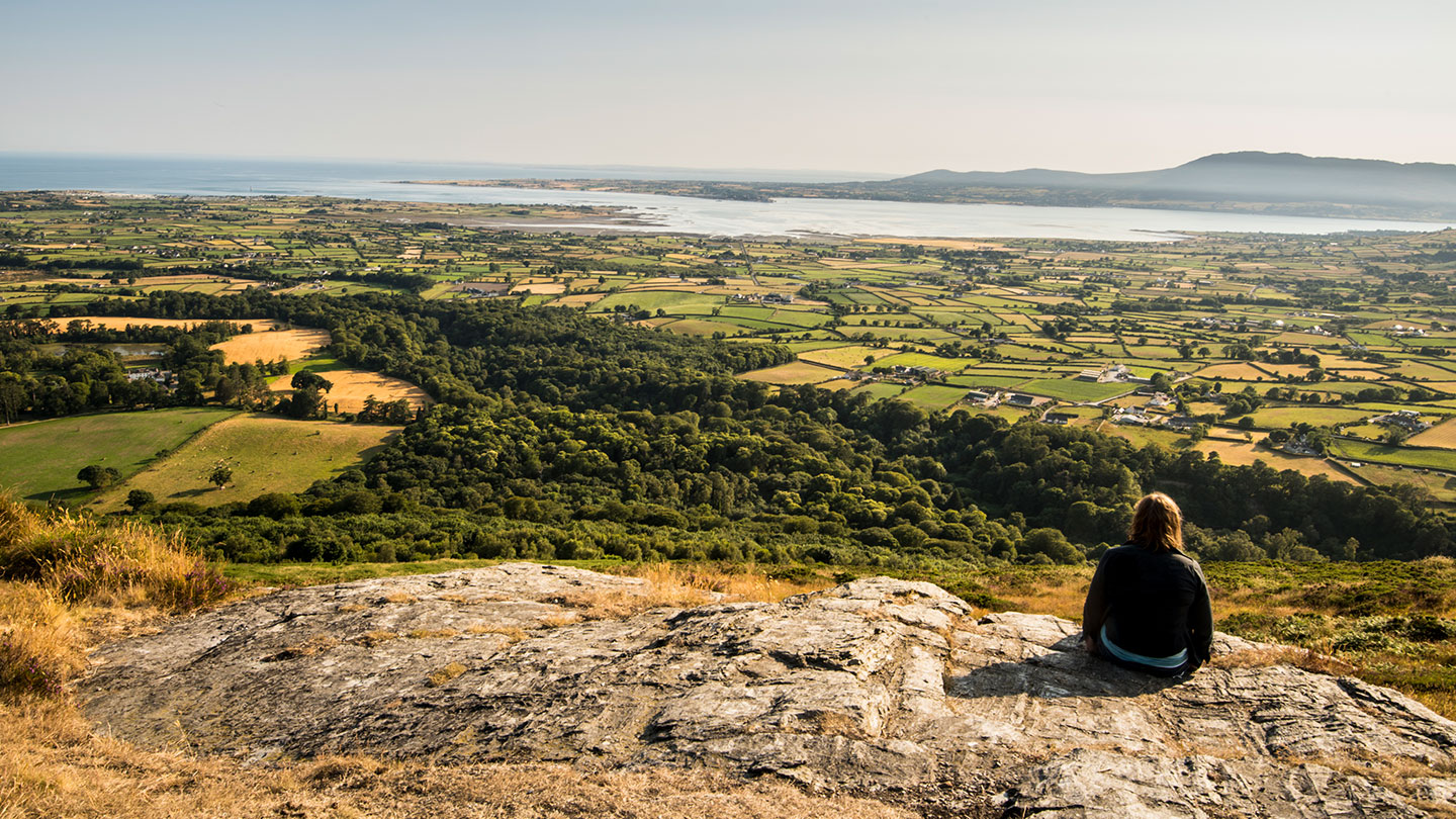 Mourne ParkWood · 1.8 mi
 SlievenagoreMountain / peak · 2.2 mi
 Robert Hill Hanna VC - First World War HeroVisitor information · 2.3 mi
 Crocknafeola WoodForest · 2.8 mi
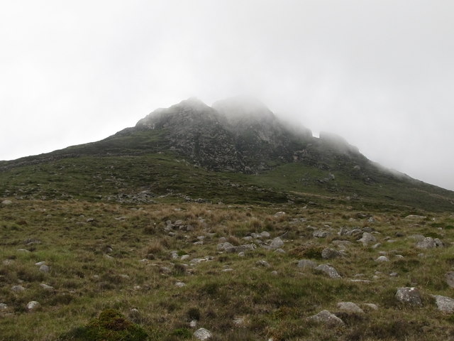 Wee BinnianCliff · 3.1 mi