What is recorded here
Indicated is a broken circular cashel in Galway grassland, its drystone wall collapsed beneath a later field boundary. It stands seventy metres from a folly, large enough to hold a small life but faint enough to vanish when rain softens the grass. The fort may have watched roads, herds or arguments before people stopped building walls they could still picture.
In level grassland. Poorly preserved circular cashel (D c. 23m) defined by a collapsed drystone wall overlain by a field wall from S to W. A folly (GA055-060002-) lies 70m to NE.
The above description is derived from the published 'Archaeological Inventory of County Galway Vol. II - North Galway'. Compiled by Olive Alcock, Kathy de hÓra and Paul Gosling (Dublin: Stationery Office, 1999).
Date of upload: 05 August 2010
The monument record does not grant public access. Check the route and ask the landowner before entering private land.
- What survives
- Recorded monument
Places near here
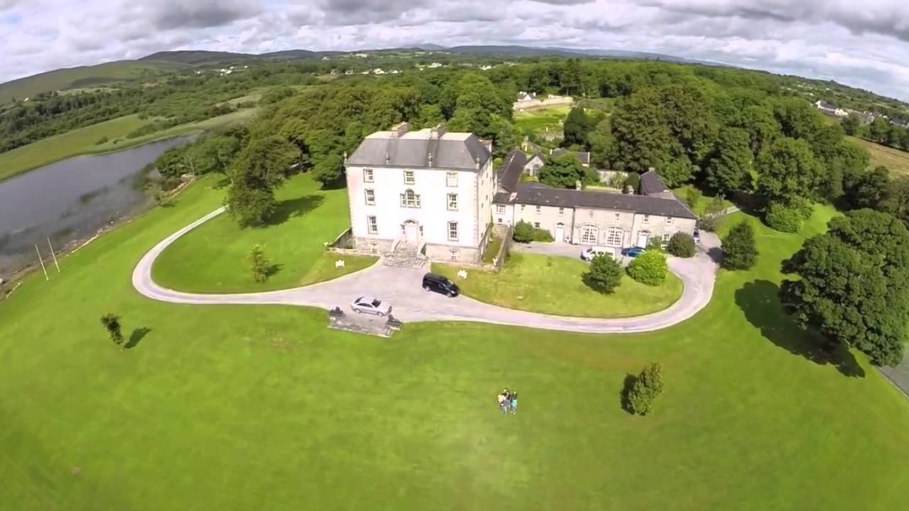 Enclosure in MountrossEnclosure · 109 yd
 Walsh's IslandIslet · 1351 yd
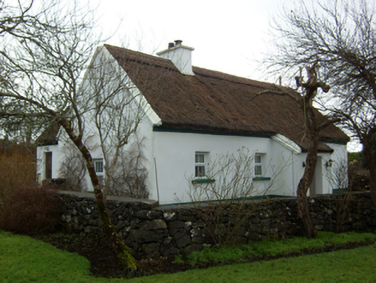 Plum Cottagehouse · 1457 yd
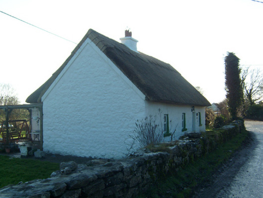 Willow Cottagehouse · 1480 yd
 LisnamonaFairy fort / ringfort · 1.1 mi
 Castle (in ruins)Castle, hall-house · 1.4 mi
 BallynacreggaWood · 1.7 mi
 Cloghanower Castle in ruinsCastle, tower house · 1.9 mi
 Willyrogue IslandIslet · 2.4 mi
 Ballinduff BayBay · 2.9 mi
 Cúil DiarmuidWood · 3.0 mi
 Ross Errilly FriaryHeritage attraction · 3.4 mi