What is recorded here
Situated on the flood plain of the NW-SE River Brickey, c. 30-60m N of the old river bed. It is described locally as an area of broken and burnt stone in a black matrix which is visible when the land is poughed, but the location is not precise.
Date of upload/revision: 11th August, 2011. Compiled by: Michael Moore.
Burnt mound in Mountodell is a Neolithic ritual or industrial site, dating to approximately 4000–2500 BCE. Its significance lies in providing evidence of early human activity, possibly related to heat treatment of stones for ceremonial or practical purposes.
The monument record does not grant public access. Check the route and ask the landowner before entering private land.
- What survives
- Recorded monument
Places near here
 Mount Odell Housefarm house · 398 yd
 Man-made underground passage in MountodellMan-made underground passage · 527 yd
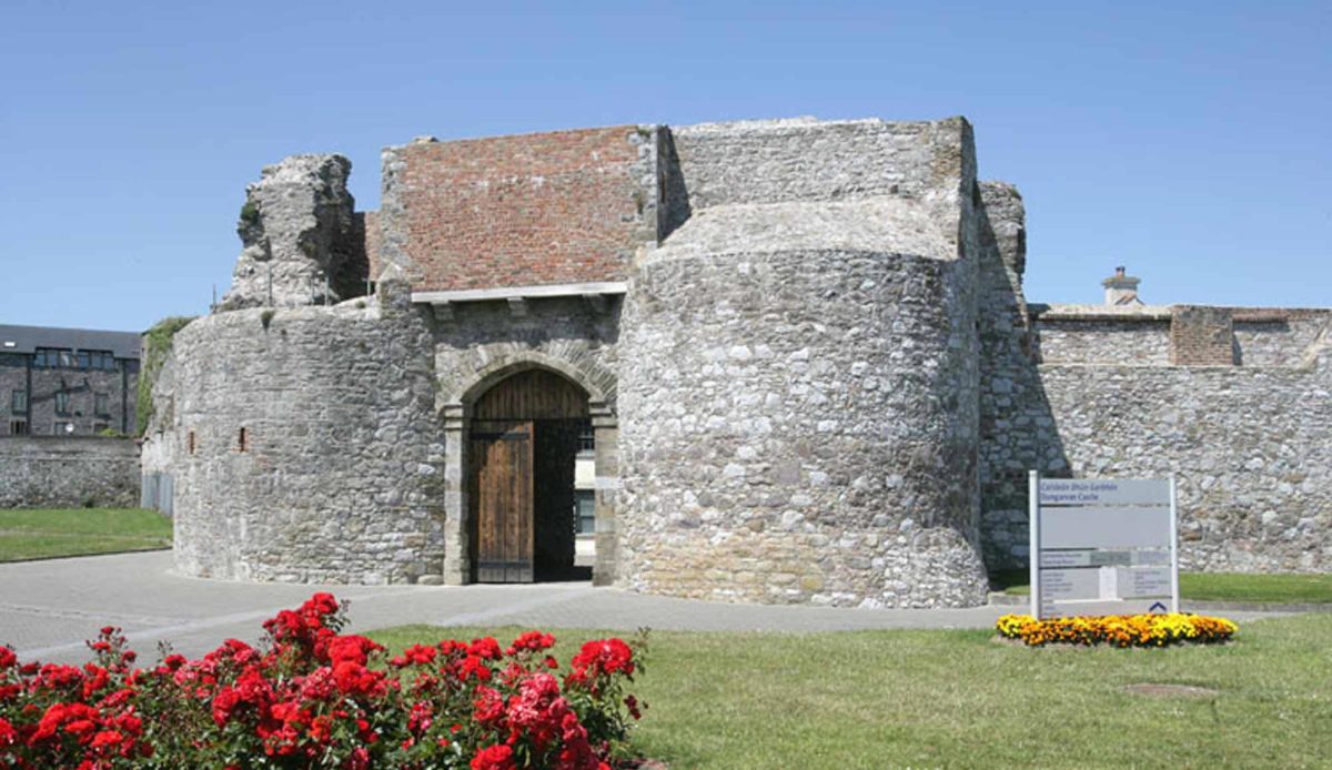 Site of Mullowneys VillageSettlement deserted, medieval · 894 yd
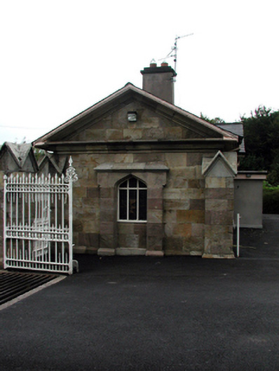 Bon Sauveur Conventgate lodge · 1102 yd
 IndicatedBawn · 1.0 mi
 Kilgreany CaveCave · 2.0 mi
 Master McGrathMemorial · 2.3 mi
 Castle (in ruins)Castle, unclassified · 2.4 mi
 Grattan SquareVisitor information · 3.7 mi
 CarronadavdergMountain / peak · 3.7 mi
 Waterford County MuseumMuseum · 3.7 mi
 Dungarvan World War I MemorialMemorial · 3.8 mi