
What is recorded here
Located on a level landscape on the floor of the Cappagh valley, and c. 5m S of the wall of a farm building. It was discovered c. 1995, but was not recored at the time and has since been closed up. It is described locally as a lintelled passage (L c. 3m) which was blocked at its E end by an area of collapse that is visible on the surface as a slight depression (diam. c. 3m; D c. 0.3m).
Date of upload/revision: 11th August, 2011. Compiled by: Michael Moore.
The monument record does not grant public access. Check the route and ask the landowner before entering private land.
- What survives
- Recorded monument
Places near here
 Mount Odell Housefarm house · 380 yd
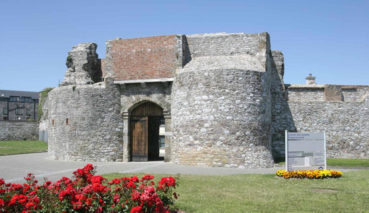 Site of Mullowneys VillageSettlement deserted, medieval · 406 yd
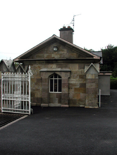 Bon Sauveur Conventgate lodge · 650 yd
 Burial Gd.Burial ground · 1111 yd
 IndicatedBawn · 1.0 mi
 Master McGrathMemorial · 2.0 mi
 Kilgreany CaveCave · 2.0 mi
 Castle (in ruins)Castle, unclassified · 2.4 mi
 Grattan SquareVisitor information · 3.5 mi
 Waterford County MuseumMuseum · 3.5 mi
 Dungarvan World War I MemorialMemorial · 3.6 mi
 Dungarvan CastleCastle · 3.7 mi
Other information
Photo: Credit not shown in the picture search · Rights wording not checked; contact us if this picture should be removed