What is recorded here
Marked as a burial ground only on the 1927 ed. of the OS 6-inch map, and situated in the grounds of Carriglea Convent, c. 200m NE of Carriglea House. This is a circular area (diam. c. 30m) defined by a slight fosse. It was a burial ground for the Odell family of Carriglea House, a mid-19th century Gothic structure.
Date of upload/revision: 11th August, 2011. Compiled by: Michael Moore.
The monument record does not grant public access. Check the route and ask the landowner before entering private land.
- What survives
- Recorded monument
Places near here
 Embanked enclosureFairy fort / ringfort · 144 yd
 Bon Sauveur Conventhouse · 239 yd
 Site of Mullowneys VillageSettlement deserted, medieval · 798 yd
 Mount Odell Housefarm house · 1385 yd
 IndicatedBawn · 1.3 mi
 Master McGrathMemorial · 1.4 mi
 Kilgreany CaveCave · 2.1 mi
 Castle (in ruins)Castle, unclassified · 2.3 mi
 Grattan SquareVisitor information · 3.2 mi
 Waterford County MuseumMuseum · 3.2 mi
 Dungarvan World War I MemorialMemorial · 3.3 mi
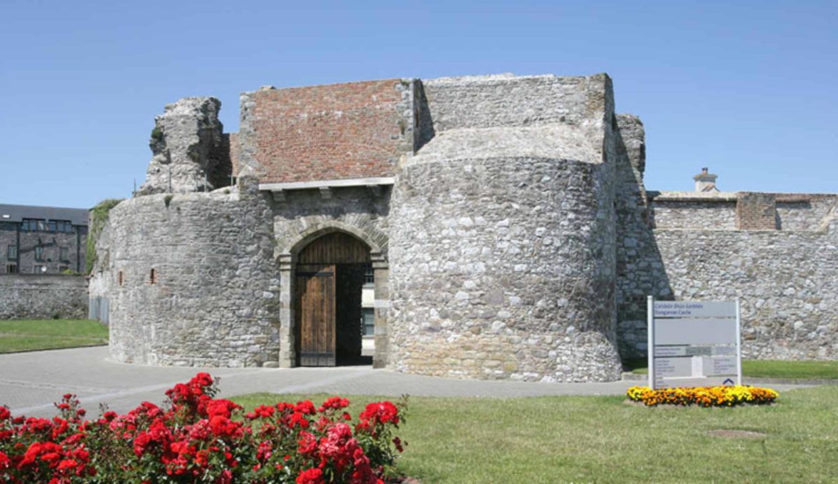
 Dungarvan CastleCastle · 3.4 mi
Other information
Photo: Credit not shown in the picture search · Rights wording not checked; contact us if this picture should be removed