What is recorded here
Situated on the flood plain of the NW-SE River Brickey, c. 30-60m N of the old river bed and just E of Tobergal well. It is described locally as an area of broken and burnt stone in a black matrix which is visible when the land is poughed, but the location is not precise.
Date of upload/revision: 11th August, 2011. Compiled by: Michael Moore.
Burnt mound in Mountodell is a Neolithic ritual or industrial site, dating to approximately 4000–2500 BCE. It is significant as evidence of early human activity, possibly related to heat-treated processes or ceremonial practices.
The monument record does not grant public access. Check the route and ask the landowner before entering private land.
- What survives
- Recorded monument
Places near here
 Mount Odell Housefarm house · 333 yd
 Man-made underground passage in MountodellMan-made underground passage · 601 yd
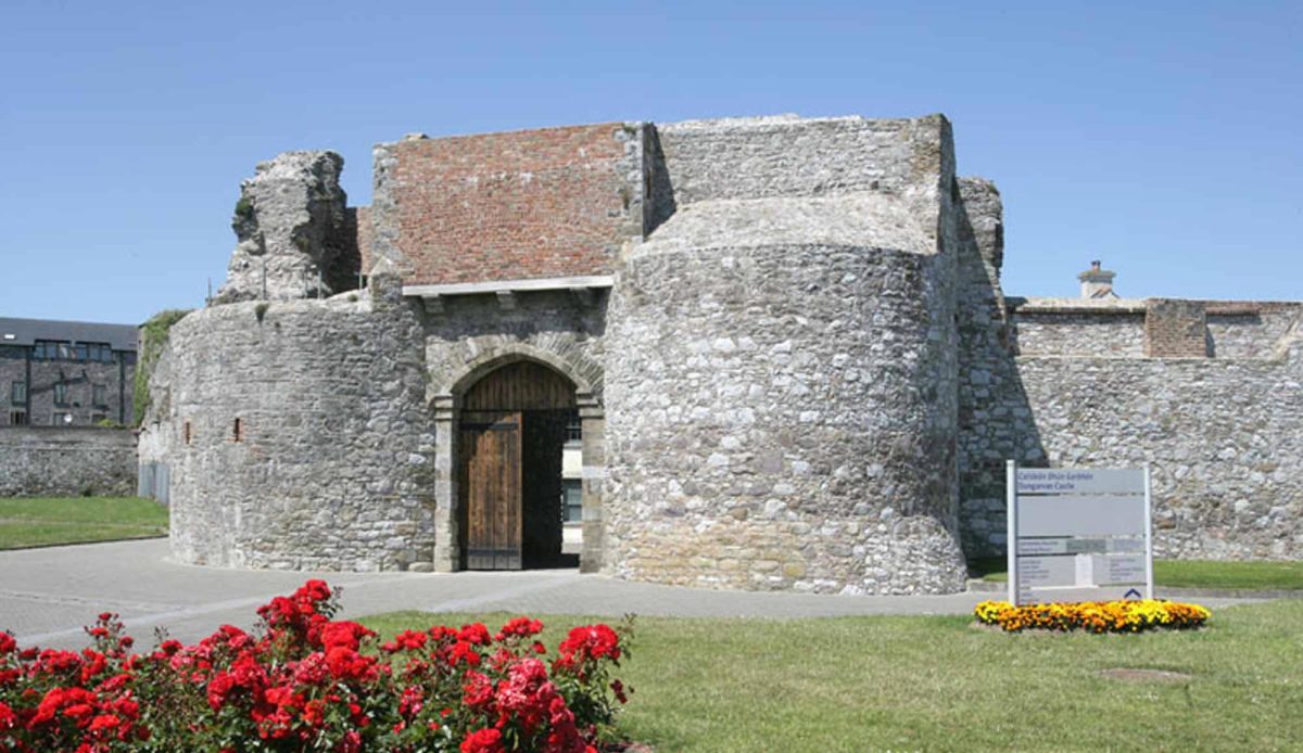 Site of Mullowneys VillageSettlement deserted, medieval · 908 yd
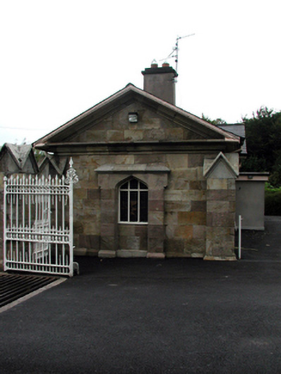 Bon Sauveur Conventgate lodge · 1227 yd
 IndicatedBawn · 1584 yd
 Kilgreany CaveCave · 1.9 mi
 Master McGrathMemorial · 2.3 mi
 Castle (in ruins)Castle, unclassified · 2.5 mi
 CarronadavdergMountain / peak · 3.7 mi
 Grattan SquareVisitor information · 3.8 mi
 Waterford County MuseumMuseum · 3.8 mi
 Dungarvan World War I MemorialMemorial · 3.9 mi