What is recorded here
Mountaincommon in County Mayo, Ireland. On a low rise above gently undulating grassland, a possible rath stood thirty to thirty-five metres across, visible enough in 1919 for a surveyor to draw its circular wall before ploughs erased it. The field fence still cuts the ghost of that ring from northeast to southwest, while rough ground south of the line hints at what disappeared north. Whatever life moved inside that vanished circle, the grass and fence have already forgotten it.
On low rise in gently undulating grassland, with good views.
This possible rath is not shown on the 1838 OS 6-inch map, but is depicted on the 1919 edition as a hachured circular enclosure (diam. 30-35m) crossed at NW by a field fence on a NE-SW axis. It has been levelled. The NE−SW field fence is extant. An irregular area of rough ground (c. 30-40m across) is evident to S of the fence; no trace of the enclosure can be discerned to N of the fence.
Compiled by: Jane O’Shaughnessy
Date of upload: 8 December 2021
The monument record does not grant public access. Check the route and ask the landowner before entering private land.
- What survives
- Recorded monument
Places near here
 IndicatedFairy fort / earthen ringfort · 429 yd
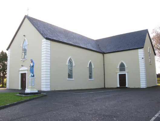 Saint Joseph's Catholic Churchchurch/chapel · 999 yd
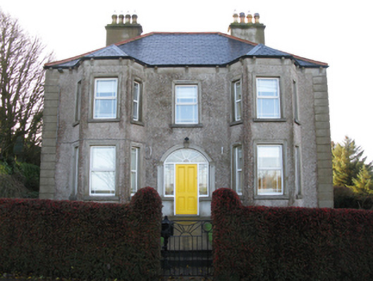 Tighe Achadh Mórhouse · 1120 yd
 Enclosure in Scregg (costello By., Aghamore Par.)Enclosure · 1300 yd
 CastleCastle, unclassified · 1.1 mi
 Rath Castle in ruinsCastle, tower house · 1.4 mi
 East Mayo Brigade MonumentMemorial · 3.2 mi
 Knock MuseumMuseum · 4.7 mi
 Knock ShrineHeritage attraction · 4.7 mi
 I'll Send You The FareMemorial · 7.8 mi
 Thorn CaveCave · 8.4 mi
 Oak WoodForest · 11 mi