What is recorded here
Knockanush East holds a row of vanished beehive chambers that Mr. McElligott opened beside the fort before the land was changed. He found soot and fire remains inside those cunning small-stone houses, proving they were lived in or used rather than merely piled. The fields have swallowed them now, but their shape still shadows the hill like a forgotten room breathing beneath the grass.
'The minutes for a meeting of the County Kerry Field Club on 5th March 1949 record an outing to Knockanush district. A Mr. McElligott who at 80 years of age, described how he had excavated a number of mounds on the southern side of the hill, just below the top an the trivallate fort (KE028-061----). He described the mounds as containing '"little houses shaped like a beehive hut and cunningly constructed of small stones" in one example he found soot and remains of fire. On visiting the area where he excavated these sites the members of the club described some of them as still extant. They noted two series of them separated by a narrow rise and described then as circular and about the size of a small haycock. No trace of these sites survives today, located as they were on land that has been extensively improved. However, the description suggests they contained small corbelled structures, possibly burial chambers, though, they may also represent grain drying kilns or such features associated with the fort. However, it is highly unlikely more than one or two such kilns would be associated with a settlement.'
Description from ‘The Prehistoric Settlement of the Lee Valley, Tralee, Co. Kerry; A Landscape Perspective’ by Michael Connolly. PhD Thesis UCC 2008
Date of upload: 09 July 2012
A Neolithic passage tomb; significance relates to early excavations and local antiquarian interest in the Knockanush district.
The monument record does not grant public access. Check the route and ask the landowner before entering private land.
- What survives
- Recorded monument
Places near here
 Field system in Knockanush East,knockanush West,slievenavadogeField system · 646 yd
 Field system in Kerries East,kerries West,knockanush EastField system · 665 yd
 Clogherbrien Church (in ruins)Church · 1144 yd
 CastleCastle, unclassified · 1.2 mi
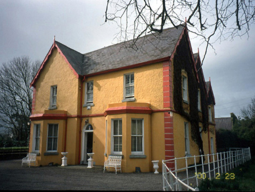 Mount Hawk Househouse · 1.5 mi
 Site of CastleCastle, unclassified · 1.9 mi
 Tralee Bay Wetlands Eco and Activity ParkNature reserve · 2.4 mi
 Pádraig Mac PiaraisMemorial · 2.5 mi
 Crimea Cannon and War MemorialMonument · 2.5 mi
 Kerry County MuseumMuseum · 2.5 mi
 Tobar na MoltSpring · 2.7 mi
 Ardfert Franciscan FriaryVisitor information · 3.1 mi