What is recorded here
Cattle poached the middle and stripped the east end, but the west still holds its small stones in a buried line. The mound lies sixteen metres long on a shallow slope, high enough to clear the grass yet low enough to disappear under branches. It is the kind of place where a dead person was set down before roads, markets or memory, and the land has spent centuries forgetting the name while keeping the shape.
On lower N-facing slope of a low hill, overlooking a marsh to the NW with distant views only from NW to N. A large tree-covered and overgrown elongated earth and stone mound (dim. 17.5m E-W, H 1.8m) with remains of cairn material, composed of small stones, in situ at W end. Middle of mound hollowed out by cattle poaching. Portion of its E end is also clearly visible. This monument was described by Carrigan as 'about 100 yards souht of the church ruins (LA023-029----), is a hillock called the Rath; the surface is rough and uneven, and there is neither rampart nor fosse (Carrigan 1905, vol. 2, 55).
The above description is derived from the published 'Archaeological Inventory of County Laois' (Dublin Stationery Office, 1995) compiled by P. David Sweetman, Olive Alcock and Bernie Moran. In certain instances the entries have been revised and updated in the light of recent research.
Date of upload: 15 July 2013
A Neolithic long cairn; its significance lies in its potential as a communal burial monument, reflecting early ritual practices in the region.
The monument record does not grant public access. Check the route and ask the landowner before entering private land.
- What survives
- Recorded monument
Places near here
 Church in ruinsChurch · 119 yd
 Enclosure in DairyhillEnclosure · 1295 yd
 Enclosure in BoherardEnclosure · 1669 yd
 Scotch RathHouse, fortified house · 1.0 mi
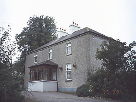 Gortnaclea Househouse · 1.1 mi
 Gortnaclea Castle (ruins)Castle · 1.1 mi
 European PearEuropean Pear · 2.1 mi
 Birchfield PlantationForest · 3.6 mi
 Anker's IslandIsland · 8.3 mi
 Cnoc SeanrathaMemorial · 9.1 mi
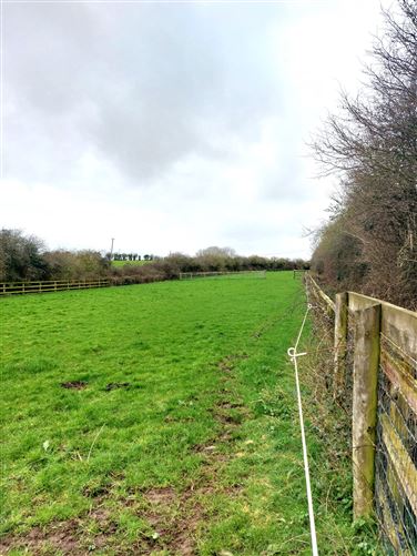 Enclosure in Ballygeehin UpperEnclosure · 1680 yd
 Ecclesiastical enclosure in DairyhillEcclesiastical enclosure · 1.1 mi