What is recorded here
A grass-covered mound of stones up to 1.25m high. It has been severely disturbed and dug into. There are possible indications of a very low surrounding bank particularly on the W side. The diameter of the whole site is c. 15m. It is situated on a small knoll in boggy terrain and has good views in all directions.
The above description was derived from the 'Archaeological Survey of County Donegal. A description of the field antiquities of the County from the Mesolithic Period to the 17th century.' Compiled by: Brian Lacey with Eamon Cody, Claire Cotter, Judy Cuppage, Noel Dunne, Vincent Hurley, Celie O'Rahilly, Paul Walsh and Seán Ó Nualláin (Lifford: Donegal County Council, 1983). In certain instances the entries have been revised and updated.
Date of upload: 22 September 2008
A possible Neolithic or Bronze Age burial mound, disturbed and partially excavated. Its significance lies in its potential as a prehistoric funerary or ceremonial feature, though its exact type and date remain unclear due to damage.
The monument record does not grant public access. Check the route and ask the landowner before entering private land.
- What survives
- Recorded monument
Places near here
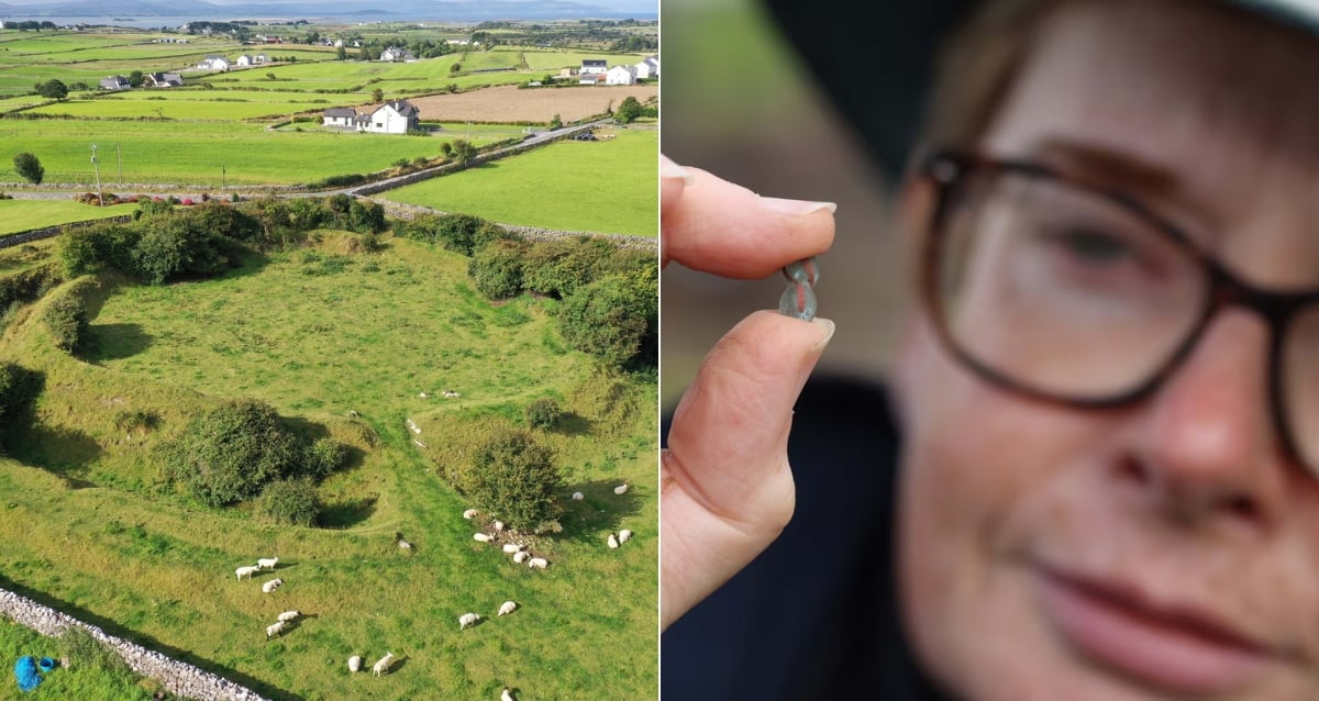 Derrora Stone RingfortFairy fort / stone ringfort · 1.9 mi
 Saint Columba's Catholic Churchchurch/chapel · 2.3 mi
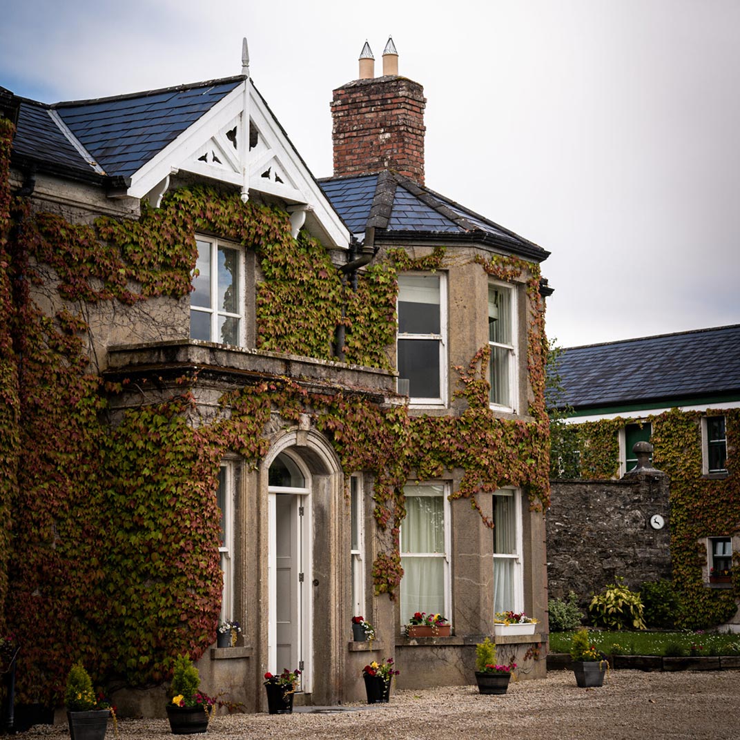 Ballygawley Stone RingfortFairy fort / stone ringfort · 2.7 mi
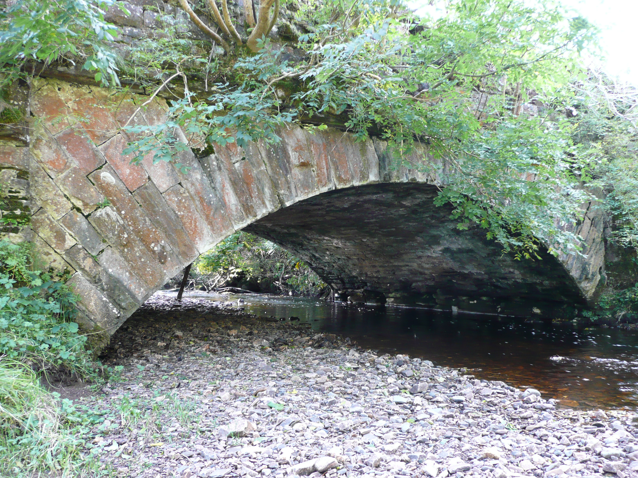 Droichead na hAbhna Bige [Owenbeg Bridge]bridge · 2.7 mi
 Stackarnagh Abbey GraveyardGraveyard · 3.4 mi
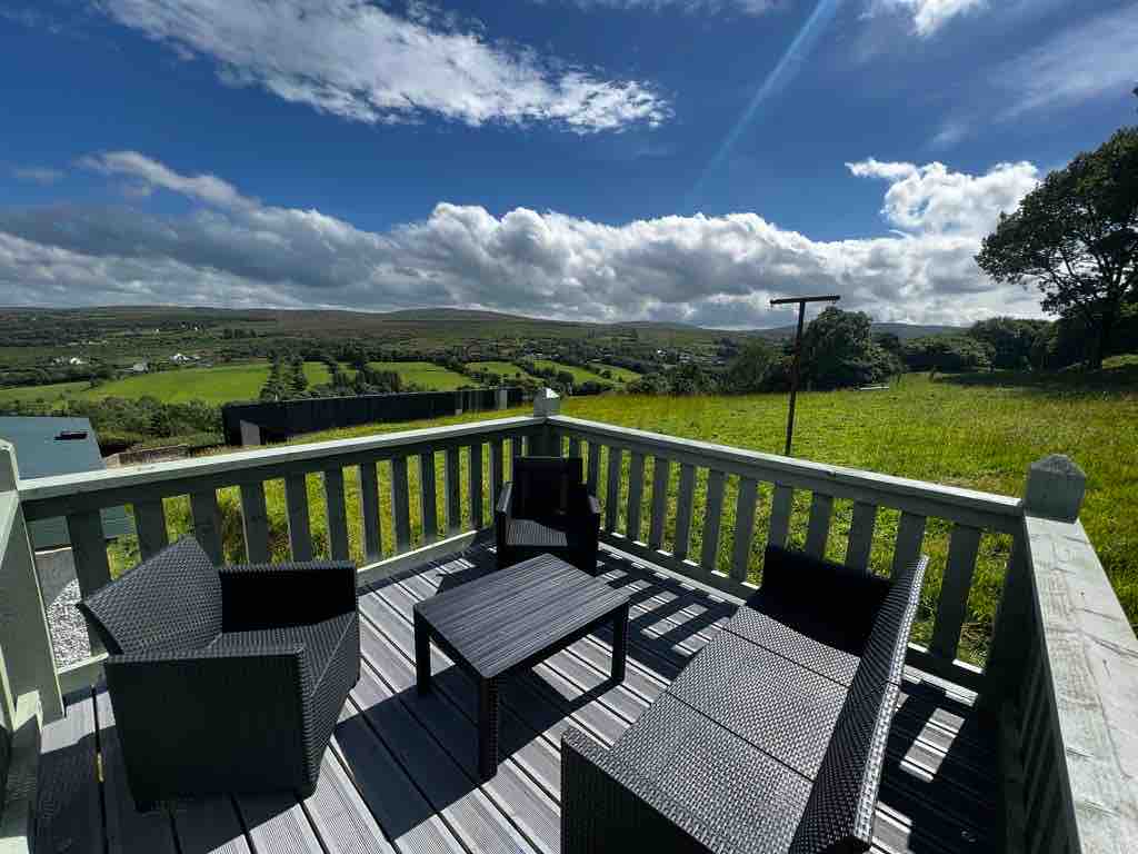 Church Hill ForestForest recreation place · 3.5 mi
 Gregory HillMountain / peak · 4.4 mi
 Newmills Corn and Flax MillsHeritage attraction · 4.6 mi
 European BeechEuropean Beech · 4.7 mi
 Glebe House and GalleryHeritage attraction · 4.8 mi
 Battle of Scarrifholisbattle · 5.0 mi
 Site of Castle SollusCastle, unclassified · 5.0 mi