What is recorded here
In a roadside field towards S end of Inis Meáin. An oblong grassed-over stone mound (NNE-SSW 6.2m, ESE-WNW 6.4m, H 0.9m), adjoined on WNW and SSW by small patches of loose stone. Traces of possible kerb-stones are visible on SE side. (Robinson 1980)
The above description is derived from the published 'Archaeological Inventory of County Galway Vol. I - West Galway'. Compiled by Paul Gosling (Dublin: Stationery Office, 1993).
Date of upload: 05 August 2010
A Neolithic long cairn, dating to the 4th–3rd millennium BCE. Its orientation and kerb-stone traces suggest ritual or funerary function typical of early megalithic traditions in western Ireland.
The monument record does not grant public access. Check the route and ask the landowner before entering private land.
- What survives
- Recorded monument
Places near here
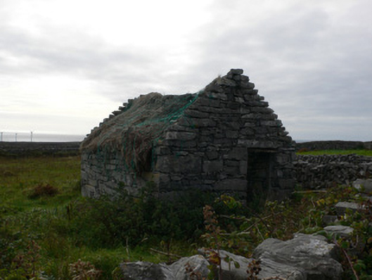 outbuildingoutbuilding · 293 yd
 Hut site in Ceathrú An TeampaillHut site · 494 yd
 Dún ChonchúirHeritage attraction · 1025 yd
 Monumental structure in Ceathrú An TeampaillMonumental structure · 1167 yd
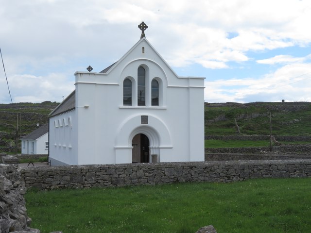 Inis MeáinIsland · 1185 yd
 Séipéal Mhuire gan Smálchurch/chapel · 1213 yd
 puffing holeHeritage attraction · 1578 yd
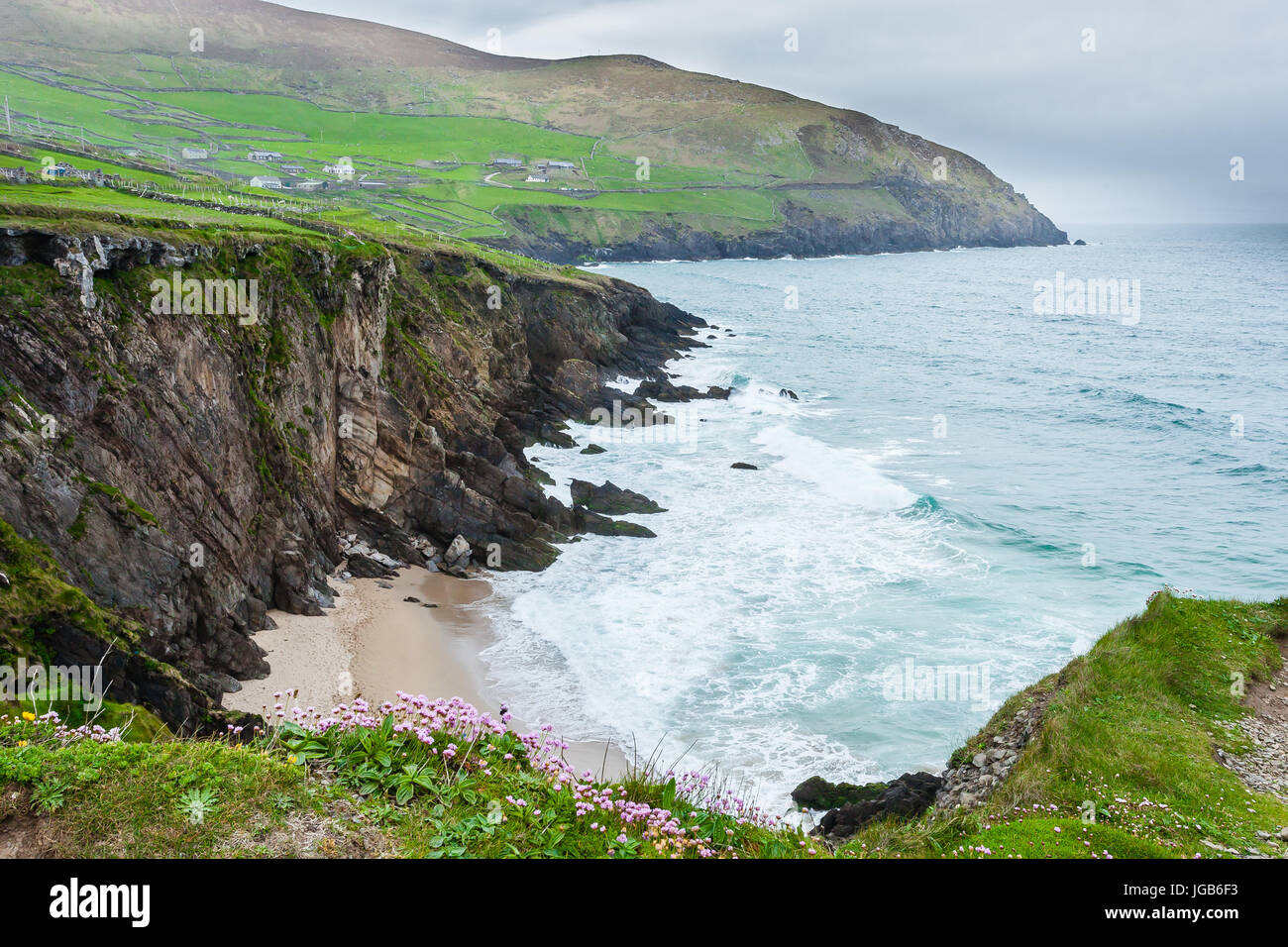 Ceann na FaochanaHeadland · 2.6 mi
 Oileán na TuíIslet · 3.1 mi
 Arkin's CastleCastle · 3.3 mi
 Lár na TráBeach / strand · 3.4 mi
 Caisleán Uí BhriainCastle · 3.5 mi