What is recorded here
Situated atop high ground with good views in all directions. Well preserved site consisting of a natural hillock the base of which has been scarped (base diam. 21m N-S ; H 0.5m) and now enclosed by trees and bushes growing around the base of the hill. Evidence of an enclosing earth and stone bank (Wth 1.2m ; int. H 0.3m; ext. H 1.2m) around base of mound/hill at E only with loose ruuble piled on top of bank, elsewhere the mound is defined by a scarp. Interior of monument follows natural contour of hillock, no evidence of a fully enclosing feature and not depicted as an antiquity on the latest ed. OS 6-inch map. Could be a natural hillock which was re-used as a burial mound formed by the scarping of the base of the hilock and this would account for the rising ground inside the scarp. Described by Cunningham (1987, 148) as a motte-like fortification a a hill-top immediately to the SW of Toomevara village. Depicted as area of tree plantation on first edition OS 6-inch map, possibly a natural feature which has no archaeological features or could be a natural hillock which has been re-used as a burial mound.
The above description is derived from 'The Archaeological Inventory of County Tipperary. Vol. 1 - North Tipperary' compiled by Jean Farrelly and Caimin O'Brien (Dublin: Stationery Office, 2002). In certain instances the entries have been revised and updated in the light of recent research.
Date of upload/revision: 22 September 2008
A Neolithic passage tomb; likely dates to the Early to Middle Neolithic period. Its location on high ground suggests a strategic or ceremonial significance, possibly as a communal burial or ritual site.
The monument record does not grant public access. Check the route and ask the landowner before entering private land.
- What survives
- Recorded monument
Places near here
 ToomyvaraSettlement deserted, medieval · 578 yd
 Saint Joseph's Catholic Churchchurch/chapel · 578 yd
 Font in Bunacum,castlequarter (aghameadle Par.)Font · 606 yd
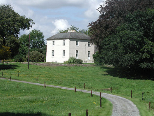 Riverglebe Houserectory/glebe/vicarage/curate's house · 624 yd
 Knockane CastleCastle · 1.3 mi
 Blean CastleCastle · 1.4 mi
 Kyleroe WoodWood · 1.6 mi
 Interragh HillMountain / peak · 2.2 mi
 Knockacraheen HillMountain / peak · 3.5 mi
 Killavalla WoodForest · 3.7 mi
 James Devaney MemorialMemorial · 5.2 mi
 Thomas MacDonagh Heritage CentreMuseum · 6.7 mi