What is recorded here
Situated in a natural hollow on a gentle E-facing slope. Circular mound (diam. 8m; H 1m) roughly flat-topped mound incorporating some rock at the S; slightly truncated at the S by a field boundary. It is unlikely to be a fulacht fiadh as there is no evidence for burnt stone. (Information P. Healy)
The above description is derived from the published 'Archaeological Inventory of County Wicklow' (Dublin: Stationery Office, 1997). In certain instances the entries have been revised and updated in the light of recent research.
Date of upload/revision: 17 December 2008
The monument record does not grant public access. Check the route and ask the landowner before entering private land.
- What survives
- Recorded monument
Places near here
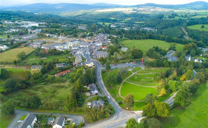 Enclosure in Ballyremon CommonsEnclosure · 713 yd
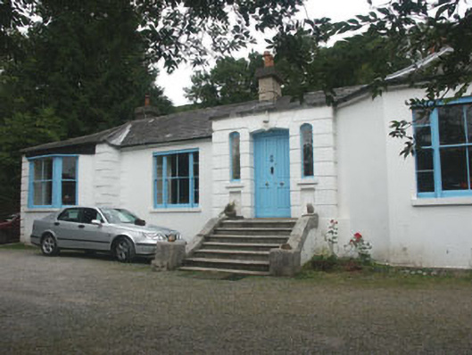 Valclusahouse · 1459 yd
 Church (Site of)Church · 1474 yd
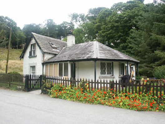 gate lodgegate lodge · 1494 yd
 Deerpark TrailWalking route · 1582 yd
 Powerscourt WaterfallWaterfall · 1.2 mi
 Great SugarloafMountain / peak · 1.4 mi
 Great Sugar LoafMountain · 1.4 mi
 The Sugar Loaf WayWalking route · 1.5 mi
 Monkey-puzzleMonkey-puzzle · 1.7 mi
 Crone WoodForest · 1.8 mi
 MaulinMountain / peak · 2.1 mi