What is recorded here
Gallan stood six feet six inches tall on a southwest-facing Cork pasture until removal around 1965. An 1842 survey marked the stone with a circle of hachures, yet no visible trace remains beside the vanished marker. The grass may still hide the shallow scar where the stone rose, preserving a quiet challenge to human patience and memory.
In pasture on SW-facing slope. Ó Ríordáin (1931, 59) notes this stone as standing (H 6 ft 6 inches; 26 inches wide; 24 inches thick). Stone removed c. 1965. Circle of hachures (CO084-078001-) surround stone on OS 6-inch map (1842); no visible surface trace.
The above description is derived from the published 'Archaeological Inventory of County Cork. Volume 1: West Cork' (Dublin: Stationery Office, 1992). In certain instances the entries have been revised and updated in the light of recent research.
Date of upload/revision: 14 January 2009
Likely dating to the Neolithic or Bronze Age, this standing stone may have had ritual or territorial significance, as suggested by the surrounding hachures. Its removal in the mid-20th century has likely obscured any local folklore or specific use.
The monument record does not grant public access. Check the route and ask the landowner before entering private land.
- What survives
- Recorded monument
Places near here
 Fulacht FiadhFulacht fia · 290 yd
 TobernafooraHoly well · 859 yd
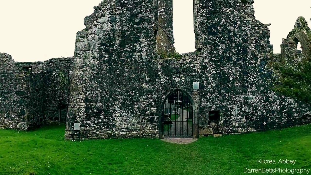 Kilbrenan Abbey (in Ruins)Religious house, unclassified · 1094 yd
 St Martin's Church of Ireland Churchchurch/chapel · 1472 yd
 Castle Nalacht, site ofCastle, unclassified · 1.9 mi
 Mount Pleasant WoodWood · 1.9 mi
 Towers (in Ruins)House, fortified house · 2.3 mi
 Pedunculate OakPedunculate Oak · 2.8 mi
 Michael Collins MemorialMemorial · 3.1 mi
 Independence MuseumMuseum · 4.6 mi
 Kilmurry WoodsPicnic place · 4.9 mi
 Sunday's WellSpring · 4.9 mi