What is recorded here
Death and history both go up hills. The ringfort stands at the top of Mortlestown Hill, but the straight line still crosses it, an older edge cutting through the round world of men. What died there is not hidden; it is written in the shape of the land.
In rough pasture, on the summit of Mortlestown Hill, 20m W of townland boundary with Ballygeagoge. A linear earthwork intersects Cathair Murthuile (LI056-011001-) at NW. Not marked on OSi historic maps. Cropmark of levelled monument visible as linear feature running NW-SE, intersecting the ringfort (LI056-011001-) at NW on Digital Globe orthoimage taken between 2011-13 and on Google Earth orthoimages.
See attached oblique aerial photograph (CUCAP ATD058) and Google Earth orthoimages
Compiled by: Fiona Rooney
Date of upload: 25 November 2021
The monument record does not grant public access. Check the route and ask the landowner before entering private land.
- What survives
- Recorded monument
Places near here
 Cathair Murthuile -Hachured/Indic.Fairy fort / earthen ringfort · 66 yd
 Mound in MortlestownMound · 522 yd
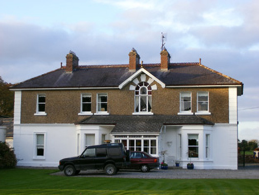 Sycamore Lodgehouse · 647 yd
 Tuck MillWater mill, unclassified · 952 yd
 Ballyhoura tourist informationVisitor information · 1.3 mi
 Treada Na Ríogh (The Moat), hachuredCastle, motte · 1.3 mi
 Castle (in ruins)Castle, tower house · 1.4 mi
 Gooseberry HillMountain / peak · 1.7 mi
 Keale MountainMountain / peak · 2.0 mi
 Palatine's RockNamed rock · 2.3 mi
 Ballyhoura WayWalking route · 2.4 mi
 ToberpatrickSpring · 2.6 mi