What is recorded here
New monument uncovered during excavation by Jonathan Dempsey under licence number 03E1368 in advance of the M7 Heath-Mayfield motorway scheme.
Morett 10 consisted of a subrectangular pit which measured 2.1m N-S by 1.4m by 0.85m deep and had smooth regular sides and a flat base (Bennett 2006, 296).
Compiled by: Caimin O'Brien
Date of upload: 17 December 2007
The monument record does not grant public access. Check the route and ask the landowner before entering private land.
- What survives
- Recorded monument
Places near here
 Enclosure in MorettEnclosure · 105 yd
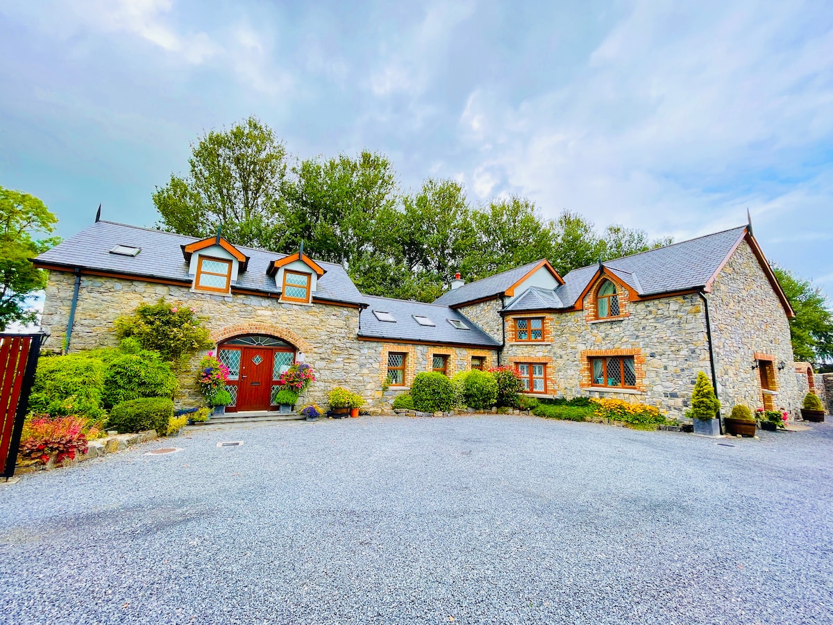 Rathnalulagh (Site of)Fairy fort / ringfort · 454 yd
 Morett Castle (in ruins)House, fortified house · 824 yd
 Morett Church (in Ruins)Church · 852 yd
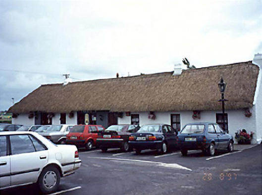 farm housefarm house · 1253 yd
 Coolbanagher Castle (ruins)Castle · 1.2 mi
 Pedunculate OakPedunculate Oak · 1.2 mi
 Giant SequoiaGiant Sequoia · 2.2 mi
 Rock of DunamaseCastle · 3.0 mi
 Rock of Dunamase InformationVisitor information · 3.0 mi
 Friary (in Ruins) GraveyardReligious house, unclassified · 4.1 mi
 Burial Ridge of MaryboroughMemorial · 4.6 mi