What is recorded here
New monument uncovered during excavation by Eoghan Moore under licence number 03E0804 in advance of the M7 Heath-Mayfield motorway scheme. Site had originally been identified during centre line testing by Ros O Maolduin under licence number 03E0128.
Situated in a low-lying field that, until recent land reclamation, had been a wet meadow/mardsy area. A mound (dims. 12m N-S by 8.5m E-W; D 0.3m) of burnt material with a series of artificial pits exterior to the area occupied by the burnt material of the fulacht fia. Two of the pits constitued the trough and the waterhole of the fulacht fia. The waterhole was exterior to the area occupied by the burnt mound while the trough was lying partly beneath the burnt mound and partly outside it (Bennett 2006, 294).
Compiled by: Caimin O'Brien
Date of upload: 17 December 2007
The monument record does not grant public access. Check the route and ask the landowner before entering private land.
- What survives
- Recorded monument
Places near here
 Morett Castle (in ruins)House, fortified house · 629 yd
 Morett Church (in Ruins)Church · 746 yd
 Enclosure in MorettEnclosure · 808 yd
 Rathnalulagh (Site of)Fairy fort / ringfort · 1233 yd
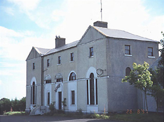 New Inn Housecoaching inn · 1463 yd
 European YewEuropean Yew · 1.6 mi
 Giant SequoiaGiant Sequoia · 1.7 mi
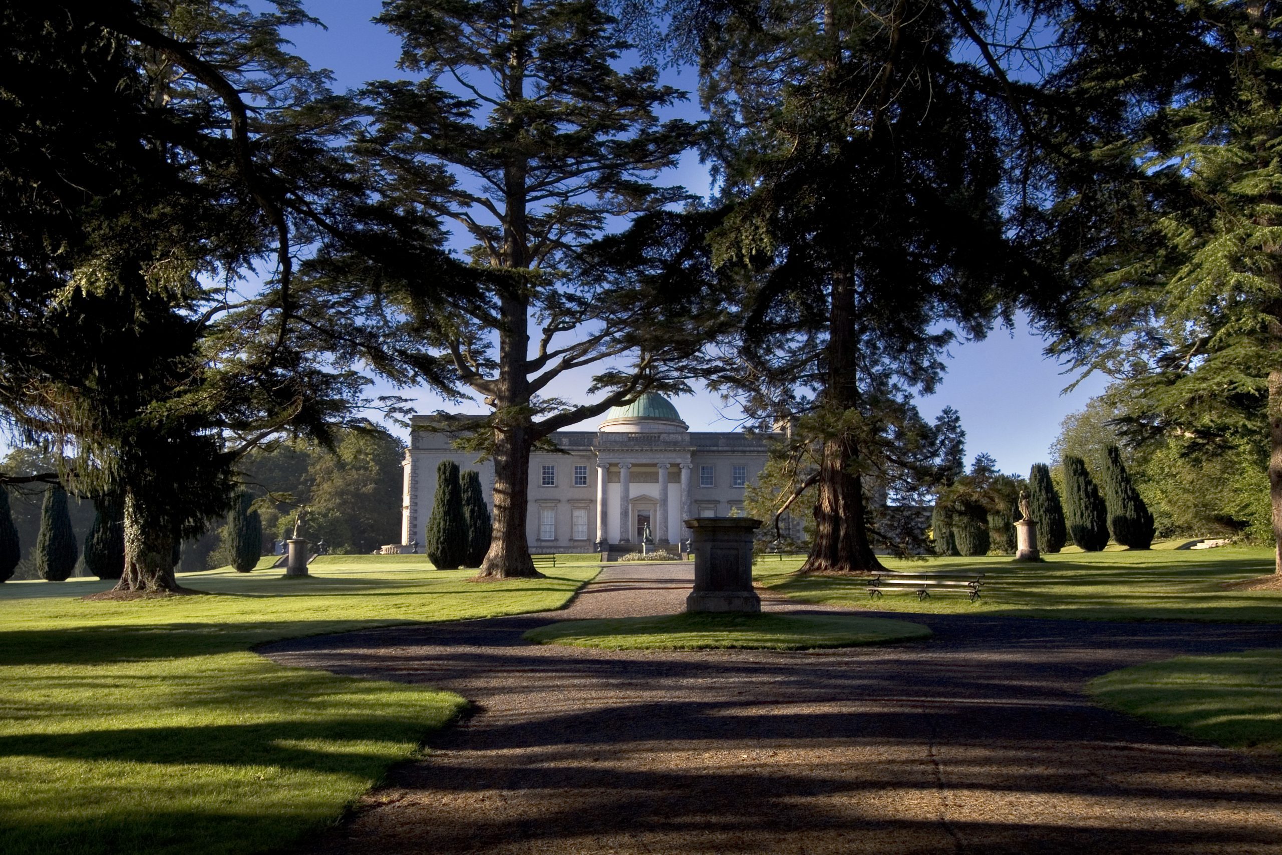 Site of CastleCastle, unclassified · 1.7 mi
 Rock of DunamaseCastle · 3.6 mi
 Rock of Dunamase InformationVisitor information · 3.6 mi
 Church (in Ruins), GraveyardChurch · 4.2 mi
 Friary (in Ruins) GraveyardReligious house, unclassified · 4.4 mi