What is recorded here
Billy O'Brien of Kilfinnane pointed to the rectangular stone rising through rough pasture, its tapering top catching light while packing stones still crowded its base. It stands beside the River Loobagh, facing Slievereagh and Cush Rock, large enough to mark a boundary or gather people, yet bare of writing and proud in its simplicity.
On low rise of ground in rough pasture with good views of Slievereagh and Cush Rock 2.5km to NE. River Loobagh 34m to S which marks townland boundary with Garrynlease. Standing stone (H 1.14-0.9m x 0.38m x 0.4m) rectangular in plan with tapering top and packing stones around base which was identified by Billy O'Brien of Kilfinnane.
Compiled by: Caimin O'Brien based on details provided by James and Billy O'Brien
Date of upload: 23 September 2021
Likely dating to the Neolithic or Bronze Age, this standing stone may have functioned as a territorial marker or ceremonial feature. No specific folklore or detailed local tradition is recorded for the site.
The monument record does not grant public access. Check the route and ask the landowner before entering private land.
- What survives
- Recorded monument
Places near here
 High Bridgebridge · 252 yd
 Burial mound in GarrynleaseBurial mound · 554 yd
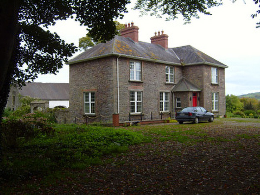 Kilfinnane Rectoryrectory/glebe/vicarage/curate's house · 813 yd
 Grave Yd.Graveyard · 1280 yd
 Castle (in ruins)Castle, tower house · 1303 yd
 Ballyhoura tourist informationVisitor information · 1461 yd
 Treada Na Ríogh (The Moat), hachuredCastle, motte · 1550 yd
 Palatine's RockNamed rock · 1.2 mi
 Ballyhoura WayWalking route · 1.5 mi
 Ballinvreena LoopVisitor information · 1.8 mi
 SlievereaghMountain / peak · 2.5 mi
 Keale MountainMountain / peak · 2.8 mi