What is recorded here
Indicated is a rectangular graveyard beside a public road in County Meath, Ireland, where Moorechurch still stands inside earthen banks and hedges. The flat land offers no dramatic ridge or shadow, yet the repeated mention of indication suggests identity itself may be the marker. A place named Indicated refuses to hide behind ambiguity, as if presence were the entire request.
The parish church of Moorechurch (ME028-010----) is within a rectangular graveyard (dims c. 110m E-W; c. 60-70m N-S) defined by earthen banks and hedges on every side except the E where a masonry wall borders a NNE-SSW public road. It is located on a level landscape.
Compiled by: Michael Moore
Date of upload: 18 August, 2014
The monument record does not grant public access. Check the route and ask the landowner before entering private land.
- What survives
- Recorded monument
Places near here
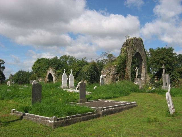 Church (in Ruins)Church · 17 yd
 CrossCross, Wayside cross · 707 yd
 Battle of Julianstownbattle · 1162 yd
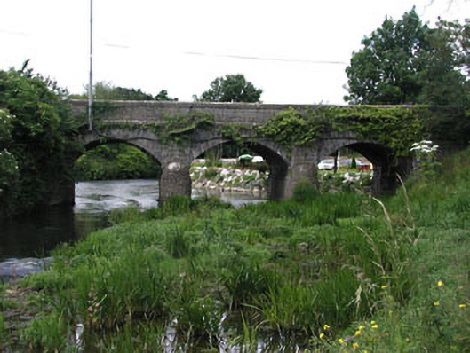 bridgebridge · 1266 yd
 Enclosure in LisdornanEnclosure · 1379 yd
 Ballygarth CastleCastle · 1757 yd
 MoatCastle, motte · 1.0 mi
 SycamoreSycamore · 2.4 mi
 European YewEuropean Yew · 2.6 mi
 Clonard SpringSpring · 4.6 mi
 Beaulieu House and GardensHeritage attraction · 4.7 mi
 Newgrange Business ParkMemorial · 5.0 mi