What is recorded here
Grave Yard in County Meath, Ireland holds Monktown parish church inside a rectangular enclosure where earthen banks rise beside masonry walls. Headstones date from c. 1775, marking a place where families returned across generations to bury their dead on a warm S and E-facing slope. The eastern scarp and later extension suggest the yard kept growing as Monktown itself grew, absorbing new lives without losing its shape.
Located towards the top of a S and E-facing slope. The parish church of Monktown (ME032-017----) is within a rectangular graveyard (dims c. 45m E-W; c. 40m N-S) defined by earthen banks (Wth c. 5m; int. H 0.2-0.4m normally to 1.5m at W (uphill); ext. H c. 1-1.5m) retained by external masonry walls on all sides except the E where there is a scarp (H 1.5m) and the graveyard has been extended (dim. c. 30m E-W) to reach a S-N access lane. The headstones in the old graveyard date from c. 1775.
Compiled by: Michael Moore
Date of upload: 23 January, 2015
The monument record does not grant public access. Check the route and ask the landowner before entering private land.
- What survives
- Recorded monument
Places near here
 IndicatedChurch · 11 yd
 Enclosure in Monktown (skreen By.)Enclosure · 173 yd
 CastleCastle, tower house · 455 yd
 Font (present location) in Walterstown (skreen By.)Font (present location) · 616 yd
 European ashEuropean ash · 1.0 mi
 Site of Old CastleCastle, unclassified · 1.1 mi
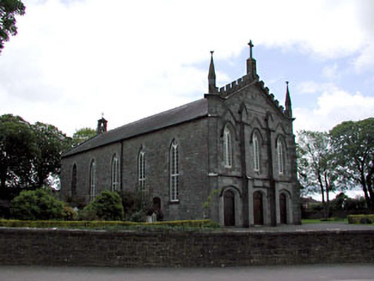 Catholic Church of the Assumptionchurch/chapel · 1.1 mi
 European BeechEuropean Beech · 2.0 mi
 Candle HillMountain / peak · 2.1 mi
 Hill of TaraVisitor information · 3.3 mi
 Tara Open StudioGallery · 3.4 mi
 Saint Patrick'sMemorial · 3.4 mi