What is recorded here
Mong Hill carries a stone ringfort on its northern crest, where a grass-covered circle hides intermittent facing-stones beneath a later field wall. The entrance has vanished, but the boundary remains, marking a small defended life exposed to weather and watching the steep eastern drop. People may have built it to control the ridge or simply to belong inside its narrow wall while the land turned around them.
Situated just off the crest on the N-facing slope at the N end of the N-S ridge of Mong Hill, and at the edge of a steep E-facing slope. This is a grass-covered circular area (ext. diam. 18m E-W; 17.5m N-S) defined by intermittently visible outer facing-stones of a wall with internal facing-stones SW-W (original Wth 1.7m). It is overlain by a N-S field wall towards the edge at E. The original entrance is not identified.
The above description is derived from 'The Archaeological Inventory of County Leitrim' compiled by Michael J. Moore (Dublin: Stationery Office, 2003). In certain instances the entries have been revised and updated in the light of recent research.
Date of upload: 23 September 2008
The monument record does not grant public access. Check the route and ask the landowner before entering private land.
- What survives
- Recorded monument
Places near here
 IndicatedFairy fort / stone ringfort · 781 yd
 Enclosure in SheemoreEnclosure · 857 yd
 Church (in Ruins)Church · 1222 yd
 Leabaidh DermotCave · 1453 yd
 Sheemore Ambush MemorialMonument · 1688 yd
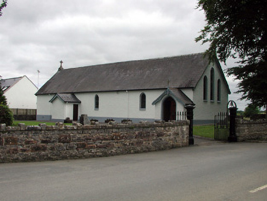 Saint Joseph's Catholic Churchchurch/chapel · 1.6 mi
 Shannon-Erne WaterwayVisitor information · 1.7 mi
 Sit of Breifny CastleCastle, tower house · 1.7 mi
 PortCastle, unclassified · 2.0 mi
 Battle of Áth an Chipbattle · 2.3 mi
 InishnagonIsland · 2.9 mi
 Rusheen IslandIslet · 4.0 mi