What is recorded here
Moneen East holds a broken fairy fort where flat pastureland erases half its memory. The surviving bank curves from north through east to south, marking a circular space nearly twenty-seven metres across. The western edge has vanished under time or plough, yet the complete ring still appears in aerial imagery. What remains feels less like ruin than like a threshold, inviting imagination to complete what the earth forgot.
In flat pastureland. On inspection in October 1982 this poorly preserved circular rath (diam. 26.9m) was defined by a bank from N through E to S. The W half had been levelled. Its complete outline is clearly visible on OSi aerial imagery (Google maps).
Compiled by: Galway Archaeological Survey, UCG
Date of upload: 17 April 2019
The monument record does not grant public access. Check the route and ask the landowner before entering private land.
- What survives
- Recorded monument
Places near here
 EnclosureEnclosure, large enclosure · 1103 yd
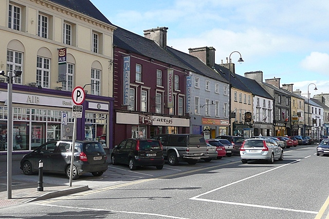 IndicatedEnclosure · 1120 yd
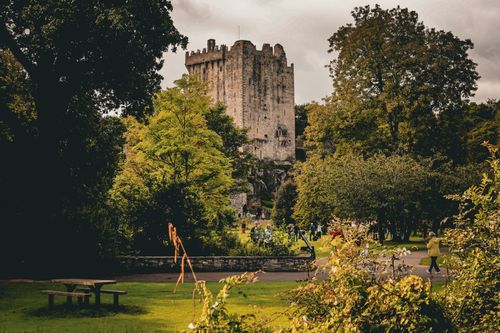 Bawn in CastleparkBawn · 1.2 mi
 Cloghroak Castle (in ruins)Castle, tower house · 1.5 mi
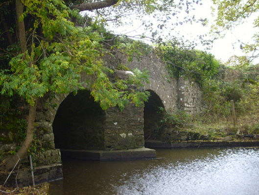 bridgebridge · 1.5 mi
 Cregaclarefarmyard complex · 1.7 mi
 HawthornHawthorn · 3.7 mi
 European ashEuropean ash · 3.7 mi
 Drumharsna CastleHeritage attraction · 4.1 mi
 KnockapollboyMountain / peak · 5.4 mi
 Mulroney's IslandIslet · 8.3 mi
 MweenisharanIslet · 8.6 mi