What is recorded here
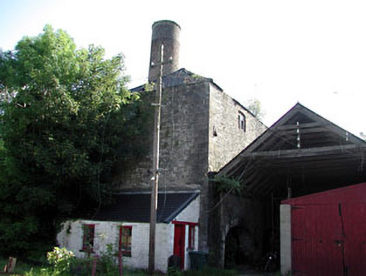
Attached two-bay three-storey rubble stone building, c.1800. Now disused and part derelict. Hipped roof with slate. Clay ridge tiles. Red brick chimney stack on a circular plan with saw-tooth detailing to coping. Rainwater goods now gone. Random rubble stone walls. Cut-stone quoins to corners. Iron tie plates. Shallow segmental-headed window openings. No sills. Red brick dressings. Timber fittings. Elliptical-headed door opening/integral carriageway to left ground floor. Cut-stone surround and voussoirs. Remains of timber fittings. Full-height interior (originally separated by internal floors (now gone). Rubble stone internal walls with rubble stone partition wall having red brick chimney breast on a circular plan. Set back from road in grounds shared with distillery buildings.
This building, which is now disused and in a poor condition, is a fine and substantial rubble stone structure that forms an integral component of the Cassidy’s Distillery complex. The internal arrangement of the building, with a rubble stone partition wall running the full-length of the building separating the internal space into two equal voids, suggests that it may have originally been built as a steam engine house. Alternatively, the presence of a chimney suggests that it may have originally been a grain-drying kiln and store. The chimney is the most prominent feature of the structure, composed on an unusual circular plan, and articulates the skyline while identifying the building in the locality. The building is of social and historical significance as evidence of the early industrialisation of Monasterevin in the late eighteenth/early nineteenth centuries. Although disused, the building retains much of its original form and some of its original features and materials, including the remains of timber fittings to the openings.
This does not grant access. Most recorded buildings are privately owned; view them only from public ground unless the owner allows entry.
Places near here
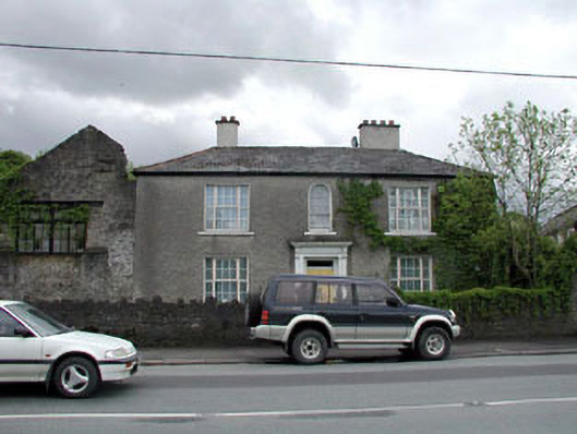 Freemore Househouse · 73 yd
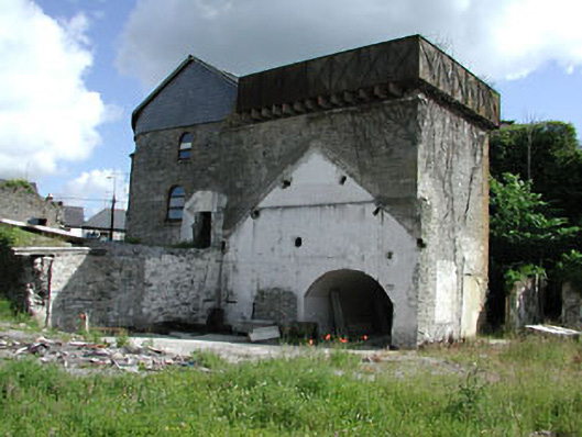 Cassidy and Companywater tower · 79 yd
 Lodge GroveWood · 291 yd
 Font in Mooreabbey DemesneFont · 304 yd
 European YewEuropean Yew · 370 yd
 IndicatedHoly well · 850 yd
 Bawn in Lackagh BegBawn · 3.4 mi
 Lea Castle (in ruins)Castle, Anglo-Norman masonry castle · 3.8 mi
 Church (in Ruins), GraveyardChurch · 4.3 mi
 Bog Lake WalkWalking route · 5.8 mi
 Derryounce Walk (Yellow Loop)Walking route · 6.0 mi
 Bithia Mary CrokerMemorial · 6.3 mi
Other information
Photo: National Inventory of Architectural Heritage · Website use allowed for educational or private purposes with source credit