What is recorded here
Situated to NW of Monasterboice graveyard but probably outside the outer ecclesiastical enclosure (LH021-062001-). It is marked only on the 1910 ed. of the OS 6-inch map where it is described in gothic lettering as 'Cave', but no description of it is available. It is now inaccesible.
Compiled by: Michael Moore
Date of revision: 11 May 2016
The monument record does not grant public access. Check the route and ask the landowner before entering private land.
- What survives
- Recorded monument
Places near here
 Ecclesiastical enclosure in Monasterboice,newtown Monasterboice,timullenEcclesiastical enclosure · 224 yd
 Round TowerRound tower · 248 yd
 Monasterboice Round TowerHeritage attraction · 250 yd
 Muiredach's High CrossHeritage attraction · 263 yd
 Monasterboice AbbeyRuins · 270 yd
 BarabonaMountain / peak · 1302 yd
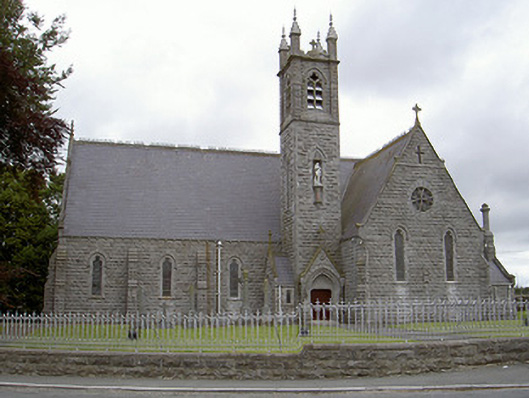 Catholic Church of Our Lady of the Immaculate Conceptionchurch/chapel · 1447 yd
 CastleCastle, unclassified · 1.6 mi
 Drummond TowerCastle · 1.6 mi
 Black HillMountain / peak · 2.0 mi
 Pedunculate OakPedunculate Oak · 2.5 mi
 European ashEuropean ash · 3.1 mi