What is recorded here
Discovered prior to road construction (Excavation Licence No. 03E1254). Situated in a low lying area, in a S-curving loop of a small meandering stream at a point where it changes from a general N-S course to a general E-W course. The burnt mound (MO031-139---) and fulacht fia (MO031-127----) are further E on the same stream. A spread of burnt stone material (dims 8m x 5m; max. D 0.4m) was initially uncovered. Excavation of this revealed two hearths, a posthole and two troughs. The smaller trough (1.4m N-S x 1.23m E-W) had 14 waterlogged planks at its base and the larger trough (1.74m N-S x 1.55m E-W) had a large flat stone at its base. A plank from the trough produced a calibrated C14 date of 1377-896 BC (Walsh 2011, 517-8). (Walsh 2006, 406-7)
Date of upload: 14 April 2011
The monument record does not grant public access. Check the route and ask the landowner before entering private land.
- What survives
- Recorded monument
Places near here
 KilnKiln, corn-drying · 81 yd
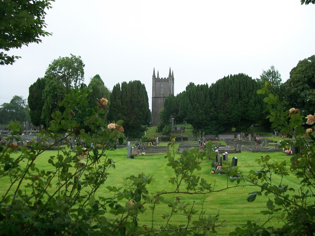 Burial ground in Cloghvally LowerBurial ground · 159 yd
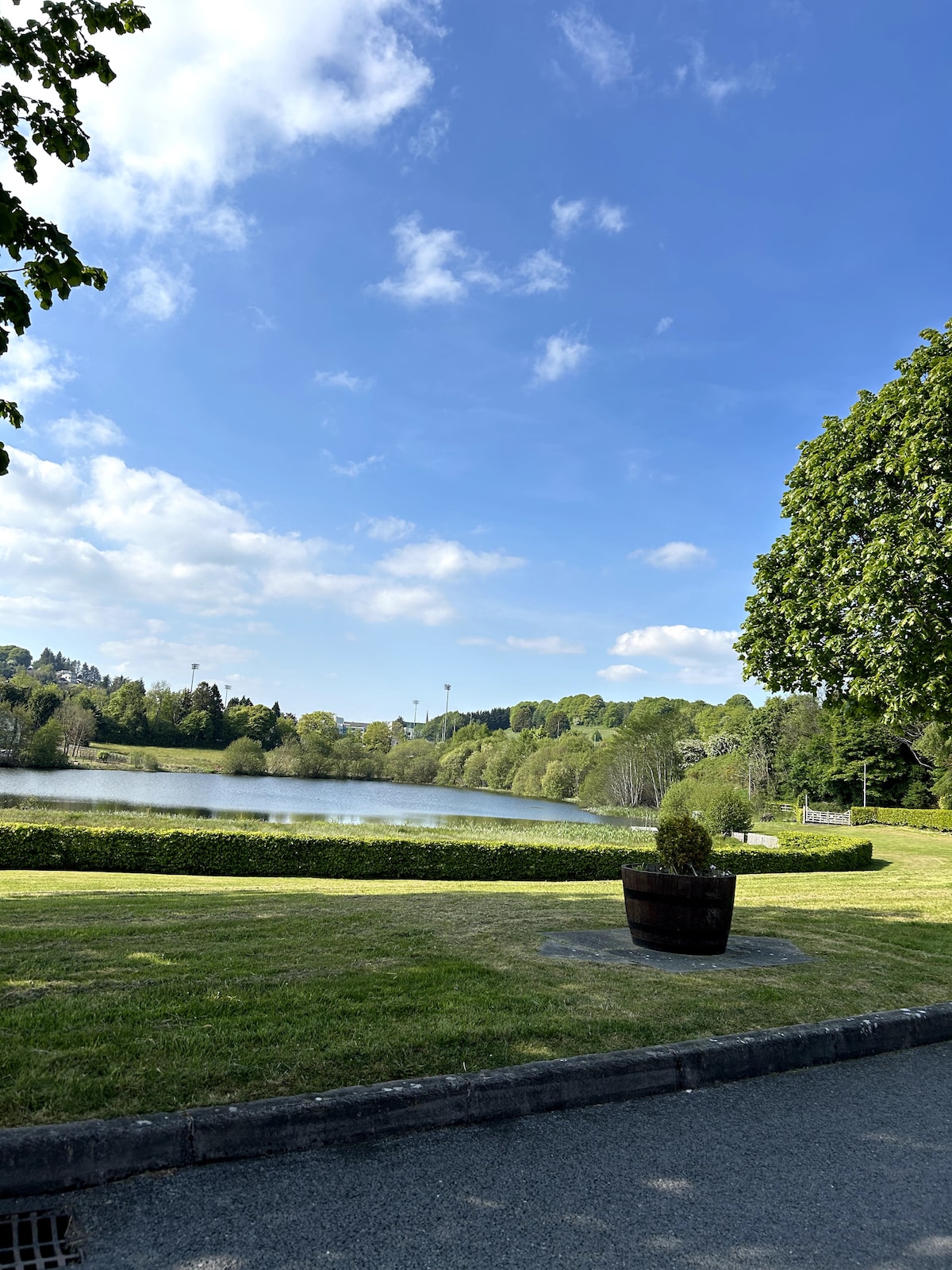 Embanked enclosureFairy fort / earthen ringfort · 1268 yd
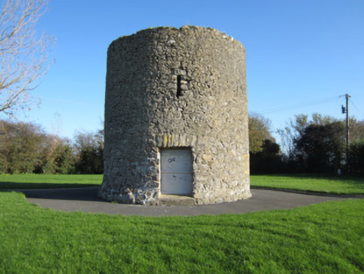 Gallows Hill Windmillmill (wind) · 1270 yd
 Horse-chestnutHorse-chestnut · 1633 yd
 Mannan Castle (in ruins)Castle, Anglo-Norman masonry castle · 1.6 mi
 European BeechEuropean Beech · 1.7 mi
 TobernagalliaghSpring · 2.3 mi
 Drumerlough MoreMountain / peak · 4.8 mi
 Flat cemetery in AnnaheanFlat cemetery · 5.3 mi
 Gully IslandIslet · 5.7 mi
 Natural Play AreaMemorial · 5.7 mi