What is recorded here
Fairy fort / earthen ringfort in Monagally West is a fairy fort or earthen ringfort in Monagally West, County Waterford, Ireland. It occupies a broad hill beside a southeast-northwest stream about 150 metres to the east. A grass-covered circular area measures 40 metres north-south and 38 metres east-west, defined by an earthen bank that is 2.8 metres wide in the northeast and 4.8 to 5.3 metres wide in the southwest. The main entrance is 1.15 metres wide at the east, while a secondary entrance 2.6 metres wide is at the northeast.
Located on a broad hill, with a SE-NW stream c. 150m to the E. Circular grass-covered area (diam. 40m N-S; 38m E-W) defined by an earthen bank (Wth 2.8m; H 0.4-0.5m N-E to Wth 4.8-5.3m; int. H 0.5m; ext. H 0.5-0.7m S-W). There is no visible fosse, and the entrance (Wth 1.15m) is at E. The perimeter has been straightened NE-E (L 18m) and there is a secondary entrance (Wth 2.6m) at NE.
Compiled by: Michael Moore
Date of upload: 11 November, 2011
The monument record does not grant public access. Check the route and ask the landowner before entering private land.
- What survives
- Recorded monument
Places near here
 Man-made underground passage in CurradarraMan-made underground passage · 547 yd
 RoadRoad, road/trackway · 899 yd
 Saint Declan's Holy WellSpring · 1101 yd
 RathFairy fort / earthen ringfort · 1654 yd
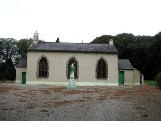 Saint Patrick's Catholic ChurchOfficially recorded historic building · 1.7 mi
 CarronadavdergMountain / peak · 1.9 mi
 Clashmore Heritage CentreHeritage attraction · 2.6 mi
 Dromore WoodWood · 2.8 mi
 Castle (in ruins)Castle, tower house · 3.4 mi
 Kilmaloo LoughWood · 3.9 mi
 Dromona HillMountain / peak · 4.4 mi
 Kilgreany CaveCave · 4.5 mi