What is recorded here
Depicted as rectangular field on 1842 OS 6-inch map; as hachured square raised area (c. 40m NE-SW; c. 35m NW-SE) on 1905 and 1936 OS 6-inch maps. In pasture, on NW-facing slope of Knockatluah, and c. 90m SE of Tooraleagan River. Levelled; linear field boundaries skirt site on NW and NE sides. Cropmark visible in aerial photograph (CASAP) of wide, linear fosse on SE and SW sides.
The above description is derived from the published 'Archaeological Inventory of County Cork. Volume 4: North Cork' (Dublin: Stationery Office, 2000). In certain instances the entries have been revised and updated in the light of recent research.
Date of upload/revision: 14 January 2009
The monument record does not grant public access. Check the route and ask the landowner before entering private land.
- What survives
- Recorded monument
Places near here
 Cross in Labbamolaga MiddleCross · 1351 yd
 Labbamolaga Church (in Ruins)Church · 1355 yd
 Enclosure in TullaEnclosure · 1402 yd
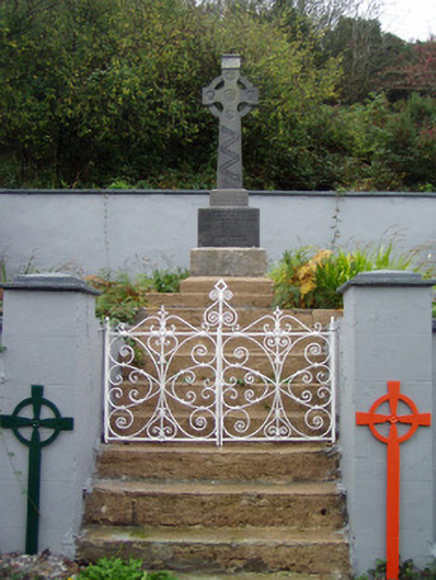 monumentmonument · 1.0 mi
 Kilclooney WoodWood · 1.9 mi
 Site of CastleCastle, unclassified · 2.6 mi
 CarrigeenamronetyMountain / peak · 3.2 mi
 Carriganoura Castle (in Ruins)Castle, tower house · 3.3 mi
 Ballyhoura WayWalking route · 4.5 mi
 Palatine's RockNamed rock · 4.8 mi
 John MandevilleMemorial · 4.9 mi
 Mitchelstown Town MapVisitor information · 4.9 mi