What is recorded here
Thirty-four metres wide and forty deep, the marsh swallowed every wall but the water itself. A rectangular stone chamber still stands in the north-west corner, clipping the road that cuts through the site today. The moat did not keep out invaders so much as it kept out forgetting, holding the shape of the place against the rising bog.
In low-lying marshy land, c. 250m to the W of Raruddy Castle (105-178----). This rectangular moated site (40m N-S; 34m E-W), in fair condition, is defined by a low inner earthen bank (base Wth 3.3m; int. H 0.26m; ext. H 0.28m) an intervening fosse (Wth 3.7m) and an external bank (base Wth 3m; int. H 0.3m; ext. H 0.3m); the latter is only apparent along the E side. Its NW corner is clipped by a N-S running roadway. The interior is raised above the surrounding land and in the NW sector there is a rectangular stone structure (GA105-182001-).
Compiled by: Galway Archaeological Survey, UCG
Date of upload: 9 December 2019
The monument record does not grant public access. Check the route and ask the landowner before entering private land.
- What survives
- Recorded monument
Places near here
 Raruddy Castle (in ruins)Castle, tower house · 286 yd
 Bawn in Cahernamuck WestBawn · 1077 yd
 Enclosure in Cahernamuck WestEnclosure · 1083 yd
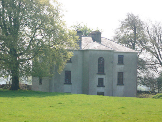 Lynchfort Househouse · 1431 yd
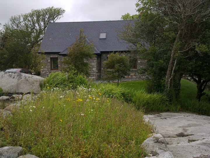 Man-made underground passage in Cahernamuck WestMan-made underground passage · 1593 yd
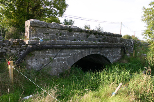 White Bridgebridge · 1.1 mi
 Barrack IslandIslet · 1.6 mi
 Blake's IslandIslet · 1.7 mi
 Long PointHeadland · 2.5 mi
 Turoe StoneHeritage attraction · 2.7 mi
 Dartfield Horse MuseumHeritage attraction · 4.6 mi
 Moyard WoodWood · 5.8 mi