What is recorded here
In pasture, on slight N-facing slope. Monument, depicted on 1841 OS 6-inch map as embanked square enclosure (L c. 20m), has been levelled. No trace of monument evident when inspected but area of site marked by patch of flag irises. (Barry 1981, 84)
Compiled by: Denis Power
Date of upload: 26 August 2011
The monument record does not grant public access. Check the route and ask the landowner before entering private land.
- What survives
- Recorded monument
Places near here
 Moanleanna Househouse · 931 yd
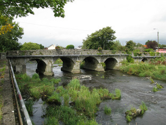 Castlemahon Bridgebridge · 1701 yd
 Castle MahonCastle · 1.0 mi
 Enclosure in BallygeelEnclosure · 1.2 mi
 Enclosure in Mahoonagh BegEnclosure · 1.4 mi
 Templars Castle (in ruins)Castle, Anglo-Norman masonry castle · 2.8 mi
 Saint Ite's WellSpring · 3.2 mi
 Garbally WellSpring · 3.7 mi
 Ballagh MountainMountain / peak · 4.4 mi
 European ashEuropean ash · 5.4 mi
 Limerick GreenwayWalking route · 5.7 mi
 Sugar HillMountain / peak · 6.3 mi