What is recorded here
Situated on a W-facing slope in undulating pasture. Rectangular enclosure (60m N-S; 38m E-W) defined by an inner bank (Wth 1.8m; int. H 0.72m; ext. H 1.03m), fosse (Wth 4m; D 0.63m) and outer bank (Wth 1.7m; ext. H 0.24m). The interior is very uneven with the surface sloping steeply to the W. The inner bank has a hedgerow growing on the top and is quite denuded and almost reduced to a scarp in places. The N bank adjacent to the NE corner has been disturbed to gain access to the site. The NW corner is well-preserved and slightly higher than adjacent banks.
The above description is derived from 'The Archaeological Inventory of County Tipperary. Vol. 1 - North Tipperary' compiled by Jean Farrelly and Caimin O'Brien (Dublin: Stationery Office, 2002). In certain instances the entries have been revised and updated in the light of recent research.
Date of upload/revision: 22 September 2008
The monument record does not grant public access. Check the route and ask the landowner before entering private land.
- What survives
- Recorded monument
Places near here
 Grallagh CastleCastle · 995 yd
 Enclosure in Curraheen (ballymurreen Par.)Enclosure · 1080 yd
 Horse and JockeyVisitor information · 1495 yd
 Gift Horse GalleryGallery · 1550 yd
 Horse and Jockey Railway Stationsignal box · 1632 yd
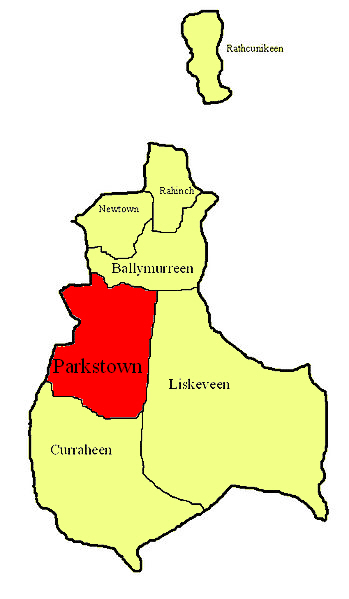 Parkstown Castle (site of)Castle, unclassified · 1748 yd
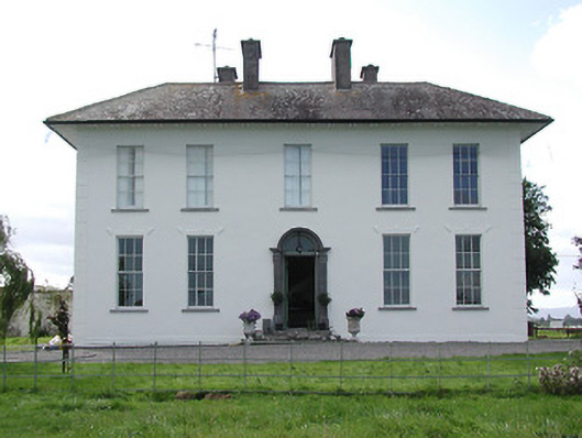 Parkstown Househouse · 1.0 mi
 Enclosure in MoycarkyEnclosure · 1.3 mi
 Gobban Saer's GraveArchaeological place · 1.7 mi
 Killough Hill (site of)Mountain / peak · 2.7 mi
 Sweet ChestnutSweet Chestnut · 3.0 mi
 Derrynaflan TrailHeritage attraction · 3.1 mi