
What is recorded here
Indicated is a living holy well hidden inside a thirty-metre earthen amphitheatre in County Leitrim, where a modern well still gives water beside two forgotten predecessors. The path enters from the east through a road cut in the bank, passing deciduous trees and a rag-tree that marks the oldest circular well. People may have walked this narrow route for generations, trusting the water to carry prayers into the earth beneath the ancient fort.
St Patrick's holy well is situated in a natural amphitheatre (diam. c. 30m) defined by an earthen bank planted with deciduous trees on the perimeter W-N-E, which is on the NE bank of a N-S stream. The enclosure is described as a 'fort' on the 1835 edition of the OS 6-inch map and the perimeter is cut by a road bank at NE. There is a modern well, still in use, but an earlier circular holy well (LE021-006001-) is under the rag-tree (LE021-006003-) to its W, and another defunct rectangular well (LE021-006004-) is E of the present well. The well is approached from the E by a path from the public road.
Compiled by: Michael Moore
Date of upload: 14 December, 2016
The monument record does not grant public access. Check the route and ask the landowner before entering private land.
- What survives
- Recorded monument
Places near here
 European ashEuropean ash · 4 yd
 Sweat Ho.Sweathouse · 1571 yd
 Cromlin Bridge WoodWood · 1.1 mi
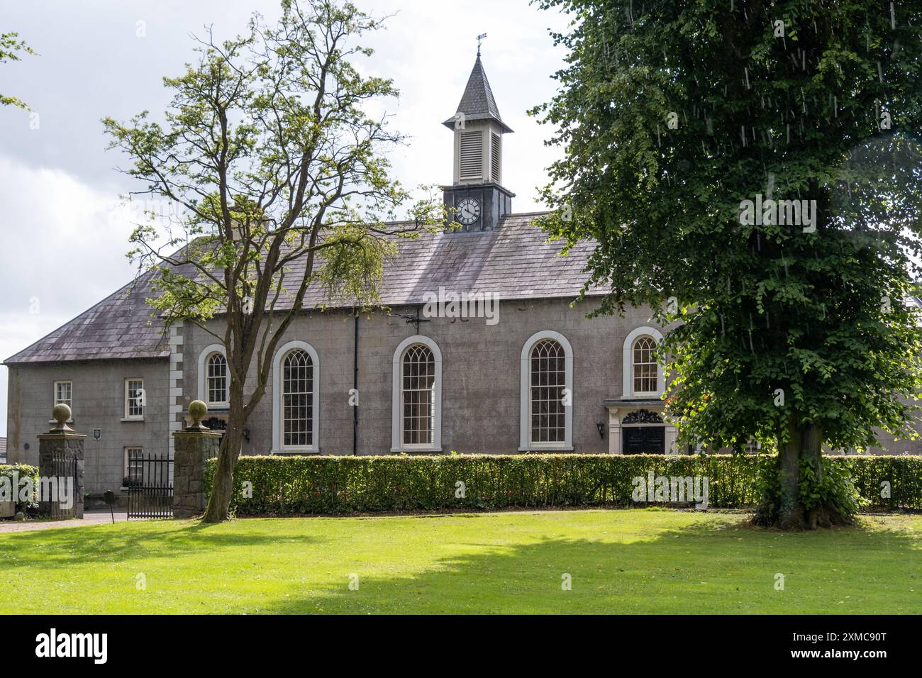 Site of Dernasmallan churchRuins · 1.3 mi
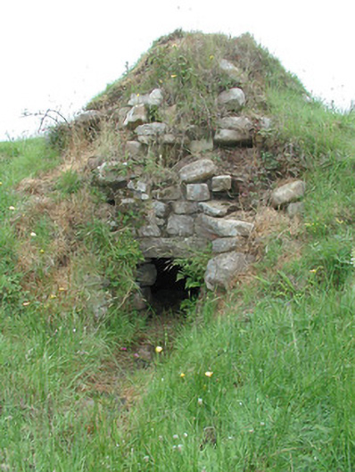 sweat housesweat house · 1.9 mi
 DrumbadMountain / peak · 2.1 mi
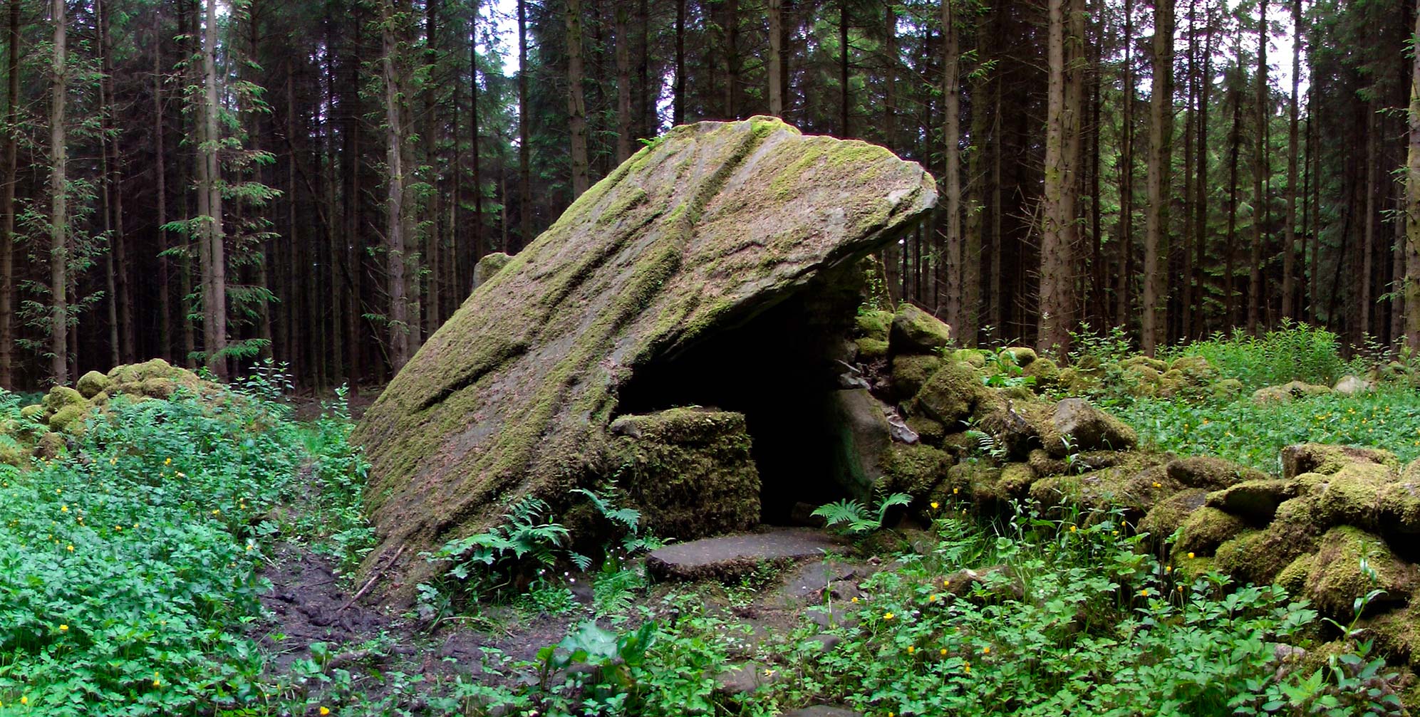 Druid's AltarArchaeological place · 2.2 mi
 Turf IslandIsland · 2.4 mi
 Crane IslandIslet · 2.6 mi
 Bartonny TopMountain / peak · 2.7 mi
 The UltachsMemorial · 3.1 mi
 CastleCastle, tower house · 3.7 mi
Other information
Photo: Credit not shown in the picture search · Rights wording not checked; contact us if this picture should be removed