What is recorded here
Fairy fort / earthen ringfort in Milltown (rathconrath By., Churchtown Ed) is a fairy fort or earthen ringfort in Milltown (rathconrath By., Churchtown Ed), County Westmeath, Ireland. This bivallate ringfort is a roughly circular area 38 metres in diameter, enclosed by an inner bank, an intervening fosse, and an outer bank. A causewayed entrance at the east-northeast features gaps in both banks and a causeway across the waterlogged fosse, which is visible from east-northeast through east, south, west, to north.
Situated on a slight rise, in gently undulating pasture, with good views in all directions. A ringfort (WM025-056----) lies c. 145m to NE and an enclosure (WM025-055----) lies c. 180m to WNW. Bivallate ringfort described as a roughly circular-shaped area (diam. 38m) enclosed by an inner bank, an intervening fosse and an outer bank. A causewayed entrance is located at ENE where there is a gap (Wth at top 5.8m; basal Wth 3.4m) in the inner bank, a causeway (Wth at top 2.2m; overall Wth 6.8m; max. H c. 1.2m) across the fosse and a gap (Wth at top 8.6m; basal Wth 6.7m) in the outer bank. The earth and stone inner bank is substantial and has definite traces of an internal stone facing. There are several disturbance gaps in the inner bank. A wide and waterlogged fosse is present from ENE-E-S-W-N which is absent from N-NE-ENE. There are the remains of an outer bank only visible from NW-N and from ENE-S-W. The fosse and outer bank are obscured by a modern field fence which flanks the base of the inner bank from N-NE-ENE. There are the remains of a stone facing on the N side of the inner gap and large stones scattered on the opposite side of the same gap. The interior rises gently from the perimeter to the centre and is featureless. Monument is visible as a roughly circular-shaped earthwork on oblique aerial photograph (CUCAP AYR024) taken 11/07/1969.
Compiled by Alison McQueen, Vera Rahilly and Caimin O’Brien.
Date of upload: 11 September 2019
A bivallate fairy fort (ringfort/rath) in Milltown, likely dating to the early medieval period, situated on a slight rise with extensive views. Local folklore associates such sites with the supernatural, often regarded as dwellings of the fairies or ancient druidic activity.
The monument record does not grant public access. Check the route and ask the landowner before entering private land.
- What survives
- Recorded monument
Places near here
 RathglassEnclosure, large enclosure · 293 yd
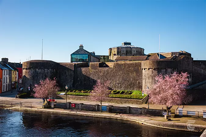 Oldtown CastleCastle · 696 yd
 Ballyhandy Househouse · 710 yd
 OutlinedFairy fort / earthen ringfort · 1006 yd
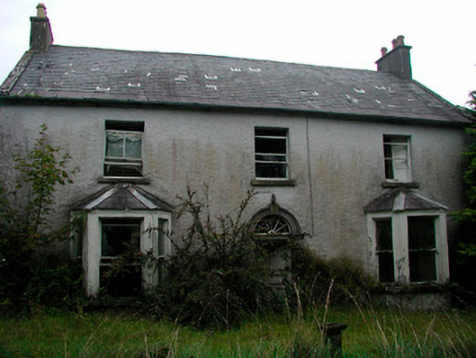 Churchtown Househouse · 1344 yd
 Ancient Ring FortWood · 1441 yd
 CastleCastle, tower house · 1.0 mi
 Hill of UisneachMountain / peak · 3.2 mi
 European ashEuropean ash · 4.0 mi
 Kilmalady HillMountain / peak · 8.8 mi
 Bonfire HillMountain / peak · 9.1 mi
 Abbeyshrule AbbeyRuins · 9.7 mi