What is recorded here
Indicated is a raised oval fort in County Cavan, Ireland, measuring nearly fifty metres across and enclosed by an earthen bank with breaks at the north and south. The local people still call it a fort, though they have turned its ancient interior into a garden where ordinary life continues above old defences. The outer ditch has faded into a field boundary, suggesting the land itself forgot the shape of the warning while the bank remained sturdy enough to mark the difference between inside and outside.
Depicted on OS 1836 and 1876 eds. as a tree-covered enclosure. Raised oval area (int. dims.49.7m NW-SE; 25.9m NE-SW) enclosed by an earthen bank and traces of an outer fosse which has been modified and incorporated into the field boundary. Breaks in bank at N and S. Internal area presently utilised as a garden. Known in the locality as a 'fort'.
The above description is derived from the published 'Archaeological Inventory of County Cavan' (Dublin: Stationery Office, 1995). In certain instances the entries have been revised and updated in the light of recent research.
Date of upload/revision: 22 December 2008
The monument record does not grant public access. Check the route and ask the landowner before entering private land.
- What survives
- Recorded monument
Places near here
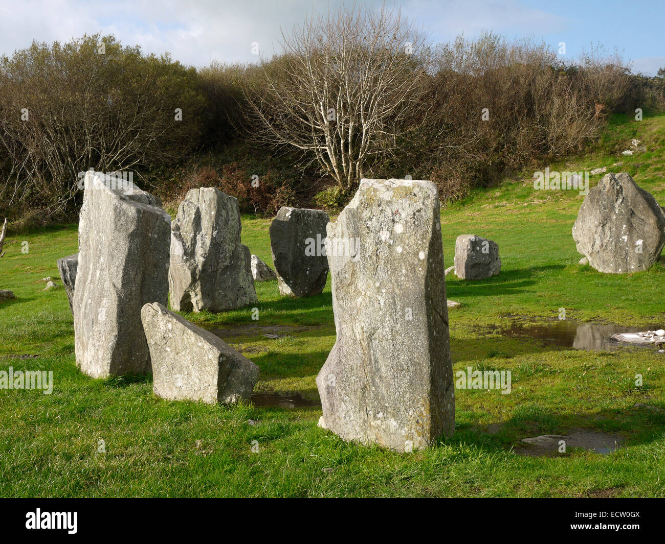 Druid's AltarArchaeological place · 473 yd
 Enclosure in KillycatronEnclosure · 805 yd
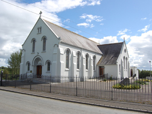 St Joseph’s Roman Catholic Churchchurch/chapel · 846 yd
 DrumhawnaghMountain / peak · 1500 yd
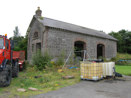 Drumhawnagh Stationgoods shed · 1.1 mi
 Carnagh LowerMountain / peak · 1.6 mi
 Oghill Bog WoodWood · 1.7 mi
 Pottle WoodlandWood · 1.7 mi
 Red IslandIslet · 2.2 mi
 Scrabby IslandIslet · 2.7 mi
 Cloone Ho.Castle, unclassified · 2.9 mi
 Bawn in CastlepolesBawn · 3.6 mi
Other information
Photo: Credit not shown in the picture search · Rights wording not checked; contact us if this picture should be removed