What is recorded here
Associated with a prehistoric house (MA023-018001-) at the NE end of Inishkea South.
This midden represents food waste that accumulated during occupation of the house. An in situ layer (L c. 1-2m) of limpets and periwinkles shells and fragments of animal bone is exposed in section in the eroding E edge of the house. A few stones associated with the layer appear to be fire-cracked. The midden overlies or is partly incorporated into a compact layer of brown soil (D c. 0.1-0.5m), possibly an old ground surface. Shells and animal bones are also loosely scattered on the ground surface throughout the interior of the house.
Attached images:
MA023-018002-_01.JPG Midden layer exposed in section on E side of house (MA023-018001-)
MA023-018002-_01.JPG Close-up of midden
Compiled by: Jane O’Shaughnessy
Date of upload: 20 December 202
The monument record does not grant public access. Check the route and ask the landowner before entering private land.
- What survives
- Recorded monument
Places near here
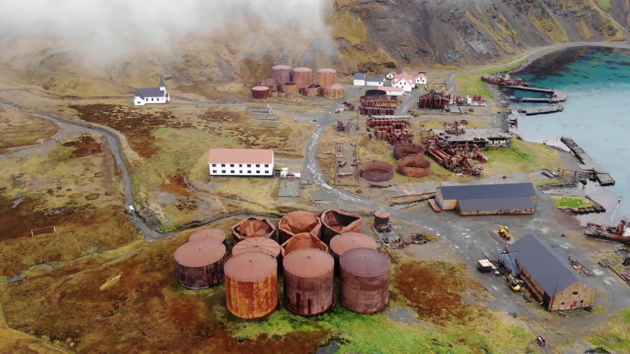 Rusheen Island Whaling StationRuins · 528 yd
 RoisínIslet · 577 yd
 Church (in Ruins)Church · 598 yd
 St. Derivlas WellHoly well · 1120 yd
 Enclosure in Inis Gé ThuaidhEnclosure · 1357 yd
 Inis Gé ThuaidhIsland · 1480 yd
 Site of Redmond Barretts CastleCastle, unclassified · 4.1 mi
 Termon BeachBeach / strand · 4.7 mi
 Trá OilíBeach / strand · 5.5 mi
 Barranagh Castle in RuinsCastle, unclassified · 6.6 mi
 Saddle HeadHeadland · 7.6 mi
 AskilgubroenacoraghHeadland · 7.7 mi