What is recorded here
At the W end of a small rocky cove on the NW shoreline of Lough Foyle. A large amount of worked flint was found lying on sands and gravels of in the intertidal zone, only accessible during low tides (McNaught 1998; SMR File; NMI Report 23 September 1999). This material may have been washed out of a midden/settlement site located above the beach. Alternatively, it is possible that it was washed out of a palaeo-landscape which has since been inundated by the sea and now lies beneath the waters of Lough Foyle (Costa et al. 2001, 1; Westley 2015, 243-257). Similar lithics were recovered nearby (DG022-010----; DG022-012) and at the adjacent cove (DG022-011----) c. 90m to E. The flints, which include flakes, blades and cores, have been typologically dated to the Earlier Mesolithic period (Costa et al. 2001, 1-8). Another concentration of flints (DG022-014----) was recovered in 2019 c. 100m to NW.
Compiled by: Jane O'Shaughnessy
Date of revised upload: 27 October 2021
The monument record does not grant public access. Check the route and ask the landowner before entering private land.
- What survives
- Recorded monument
Places near here
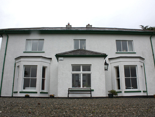 Porta Villahouse · 189 yd
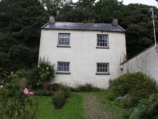 Manor Housecoach house · 314 yd
 Greencastle Martello FortCastle · 566 yd
 Greencastle / Northburgh CastleCastle, Anglo-Norman masonry castle · 662 yd
 Sweet Nellie'sBeach / strand · 1421 yd
 Inishowen Maritime Museum and PlanetariumMuseum · 1491 yd
 MARTELLO TOWER ON MAGILLIGAN POINT in Doaghs LowerMARTELLO TOWER ON MAGILLIGAN POINT · 1711 yd
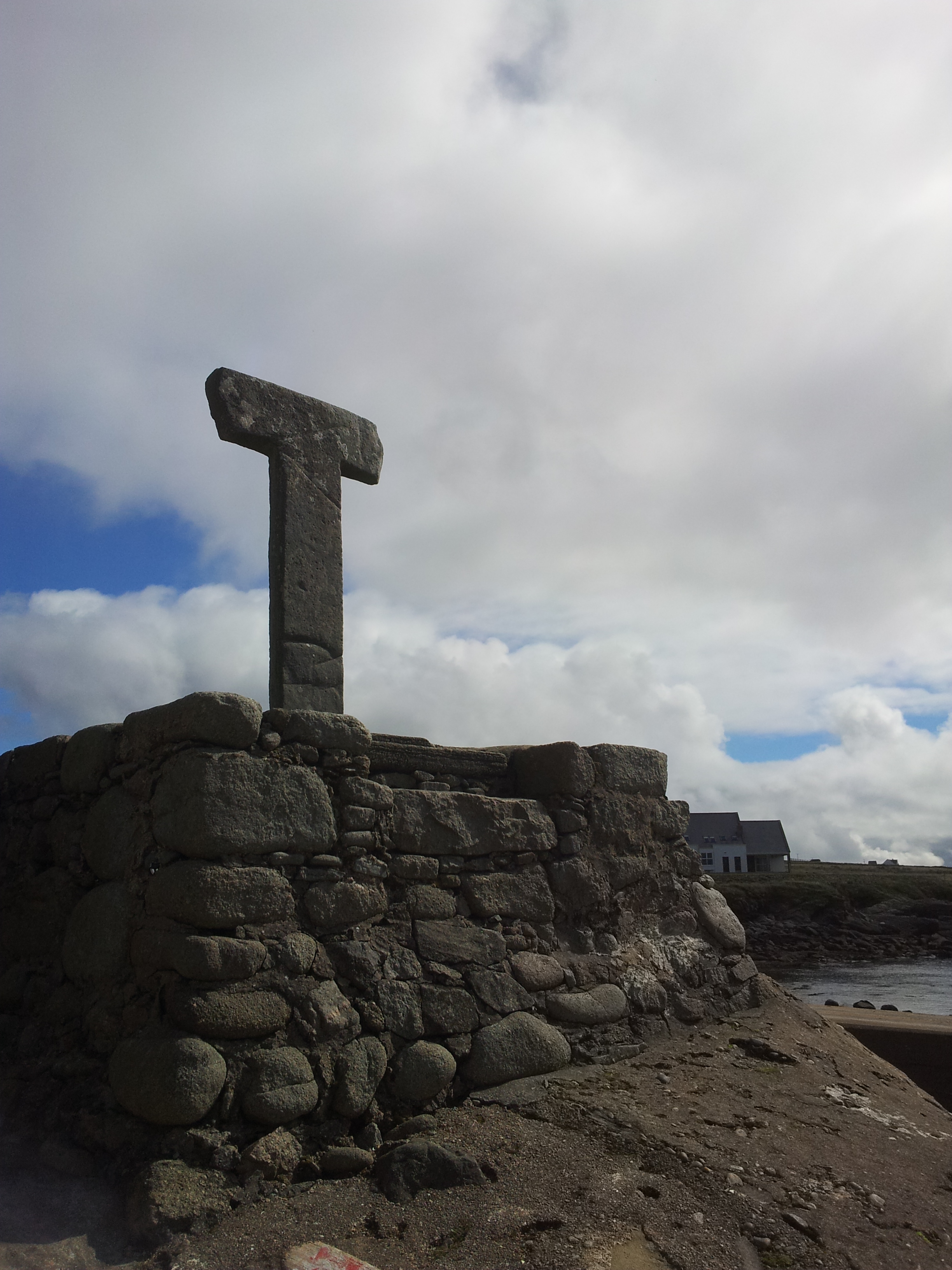 Cross in CarrowhughCross · 1.0 mi
 White StrandBeach / strand · 1.2 mi
 Dunagree PointHeadland · 2.1 mi
 CrockaulinMountain / peak · 2.3 mi
 Cliffs, Inishowen HeadPublicly named cliff or headland · 2.5 mi