What is recorded here
Discovered prior to road construction (Excavation Licence No. 00E0946). A small spread of burnt material (10.8m x 3.2m) was initially exposed (this was not the full extent of the spread but all that was exposed to facilitate the development). Removal of the spread uncovered three pits cut into the natural subsoil. One was sub-rectangular (1.5m x 1.2m; D 0.8m), the second was sub-circular (diam. 1.5m; D 0.41m) and the third was irregularly shaped and lined with charcoal, however its full extent was not established as it extended beyond the road take. (Campbell 2002, 235)
Compiled by: Claire Breen
Date of upload: 25 June 2013
The monument record does not grant public access. Check the route and ask the landowner before entering private land.
- What survives
- Recorded monument
Places near here
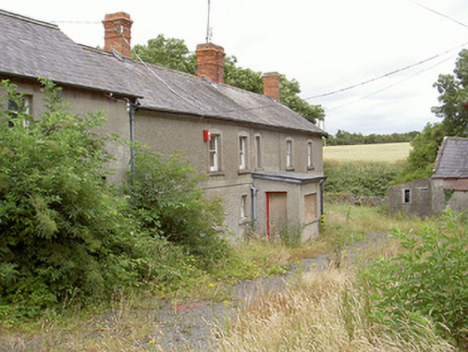 farm housefarm house · 340 yd
 Enclosure in MellEnclosure · 400 yd
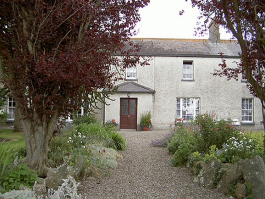 Drybridge Househouse · 683 yd
 Man-made underground passage in MellMan-made underground passage · 770 yd
 Yellow IslandIslet · 1224 yd
 Grove IslandIslet · 1491 yd
 Battle of the Boyne Visitor CentreMuseum · 1.3 mi
 Battle of the BoyneMajor battlefield · 1.4 mi
 European YewEuropean Yew · 1.4 mi
 Newgrange Business ParkMemorial · 1.8 mi
 St. Peter's ChurchMemorial · 1.8 mi
 Proudfootstown CastleCastle, unclassified · 1.9 mi