What is recorded here
Located towards the top of an E-facing slope. It is depicted as a small rectangular field at the S angle of a larger rectangular field only on the 1908 edition of the OS 6-inch map. This is a rectangular grass-covered area (dims 26m NW-SE; 25m NE-SW) defined by wide, flat-bottomed fosses or moats (Wth of top 8.3-12.5m; int. D 0.8-1.2m; ext. D 1.2-1.8m). A NE-SW field bank runs through the SE moat and a NW-SE field bank runs through the SW moat. There is no identifiable original entrance.
The above description is derived from the published 'Archaeological Inventory of County Meath' (Dublin: Stationery Office, 1987). In certain instances the entries have been revised and updated in the light of recent research.
Compiled by: Michael Moore
Date of revision: 5 September 2018
The monument record does not grant public access. Check the route and ask the landowner before entering private land.
- What survives
- Recorded monument
Places near here
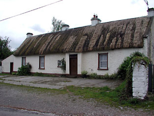 farm housefarm house · 993 yd
 Tree IslandWood · 1458 yd
 Cross in ArdaghCross · 1607 yd
 Chruch in RuinsChurch · 1653 yd
 Stone CrossCross · 1739 yd
 Cloghreagh Castle in RuinsCastle, unclassified · 1.2 mi
 MoatCastle, motte · 2.1 mi
 BarleyhillMountain / peak · 2.2 mi
 Drumran HillMountain / peak · 3.3 mi
 Flat cemetery in AnnaheanFlat cemetery · 3.5 mi
 Natural Play AreaMemorial · 3.6 mi
 Dún a Rí Forest ParkForest · 3.6 mi