What is recorded here
Cairn G is a small, unexcavated passage tomb on the highest point of Carnbane West, County Meath, belonging to the Loughcrew cemetery yet never opened or aligned with any documented solar event. While neighbouring cairns were dug, drawn and theorised over from 1864 onward, this twelve-metre mound with its eight kerbstones and central hollow has simply sat unexamined, denied even the witch-leap story that gives the ridge its name. It remains closed to the public, preserving a rare quiet where human curiosity has not yet broken the skin of the earth.
Cairn G is recorded as a archaeological place in County Meath. Its open map record supplies this location and any linked names or public references.
Places near here
 Cairn FArchaeological place · 21 yd
 C11Named rock · 81 yd
 Carnbane WestMountain / peak · 123 yd
 LoughcrewMegalithic tomb cemetery · 505 yd
 RathFairy fort / earthen ringfort · 762 yd
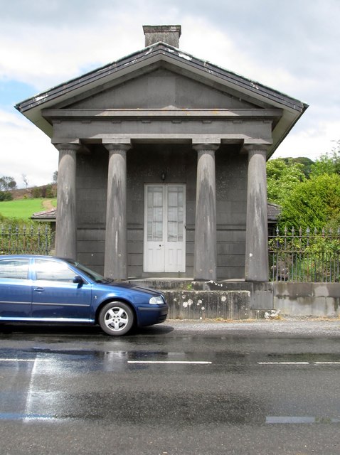 Loughcrew Housegate lodge · 1025 yd
 Common LimeCommon Lime · 1255 yd
 indicatedChurch · 1277 yd
 CastleCastle, unclassified · 1299 yd
 European YewEuropean Yew · 1303 yd
 Zip WireHeritage attraction · 1364 yd
 MoatCastle, motte · 1365 yd