What is recorded here
Carrickavea is an islet in County Mayo, Ireland. Perhaps it is a forgotten anchor point for fishermen or a quiet place where birds nest above the tide. Maybe the rock still holds the shape of hands that climbed it during storms. Imagine standing at its edge while the Atlantic pulls at the base and the sky leans close enough to touch.
Carrickavea is recorded as a islet in County Mayo. Its open map record supplies this location and any linked names or public references.
Carrickavea is a small islet located off the coast of County Mayo, Ireland. It is notable for its inclusion in historical and geographical records, reflecting the detailed mapping of Ireland's coastal features during the 19th century.
Places near here
 Dun BallyphereFairy fort / ringfort · 1.1 mi
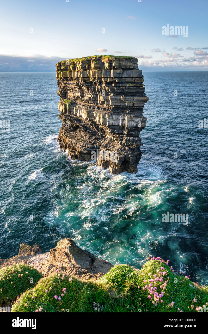 Dun BallyheerArchaeological place · 1.2 mi
 InishturkIsland · 1.3 mi
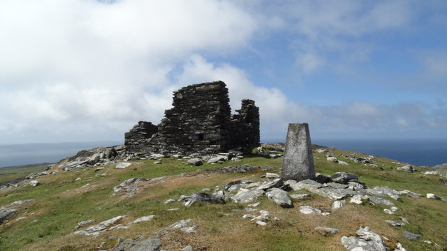 Inishturk Signal TowerRuins · 1.4 mi
 Chapel (ruins)Church · 1.8 mi
 InishdallaIslet · 2.9 mi
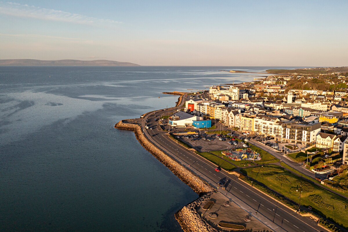 East End BeachBeach / strand · 5.3 mi
 Drumhach BeachBeach / strand · 5.7 mi
 Lyon HeadHeadland · 5.8 mi
 InishlyonMountain / peak · 5.8 mi
 InishbofinIsland · 6.0 mi
 Site of Guairims CastleCastle, unclassified · 6.2 mi