
What is recorded here
Dubhoileán Mór is a small island three miles southwest of the Mullet Peninsula where a forty-five-metre collapsed wall still spans the neck of a south-facing headland. The sea cliffs do most of the defensive work, leaving the grassy ruin to mark the only human boundary on the rock. Lazybeds scattered across the island suggest people continued farming long after the fort fell quiet, yet the place remains so remote that even scholarly surveys identified it from above without ever setting foot on the headland.
Dubhoileán Mór is recorded as a island in County Mayo. Its open map record supplies this location and any linked names or public references.
Places near here
 Church in Dubhoileán MórChurch · 257 yd
 Promontory fortPromontory fort, coastal · 479 yd
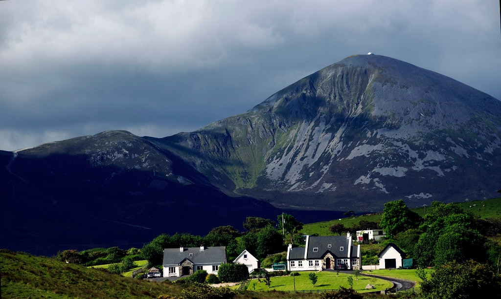 Holy WellHoly well · 710 yd
 Droim an ChapaillIslet · 1009 yd
 Dubhoileán BeagIslet · 1686 yd
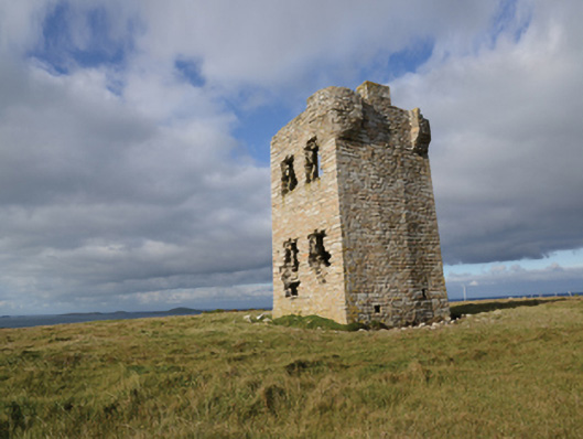 Glash Signal Towersignal tower · 2.8 mi
 Saddle HeadHeadland · 4.3 mi
 AskilgubroenacoraghHeadland · 4.3 mi
 Termon BeachBeach / strand · 4.3 mi
 Annagh StrandBeach / strand · 5.4 mi
 Site of Redmond Barretts CastleCastle, unclassified · 5.5 mi
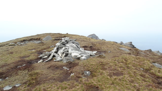 CroaghaunMountain / peak · 6.3 mi
Other information
Photo: Credit not shown in the picture search · Rights wording not checked; contact us if this picture should be removed