
What is recorded here
Ten metres of wall and seven of shadow, a castle no bigger than a generous hall, stood on its own peninsula in Mullafarry Lough until the water was taken from it. Now grass chokes the dividing wall and a sunken rectangle lies west of the ruins like a room the lake forgot to finish. What lives there is not stone but change: a watery stronghold flattened into pasture, its small rooms still measurable, its purpose thinned to a shape in the ground.
Ballinteean Castle is recorded as a castle in County Mayo. Its open map record supplies this location and any linked names or public references.
Ballinteean Castle, located in County Mayo, is believed to have been built during the late medieval period, likely by a local Gaelic family or clan. It is remembered as part of the historical landscape of west Ireland, reflecting the region's medieval fortification patterns and local power structures.
Places near here
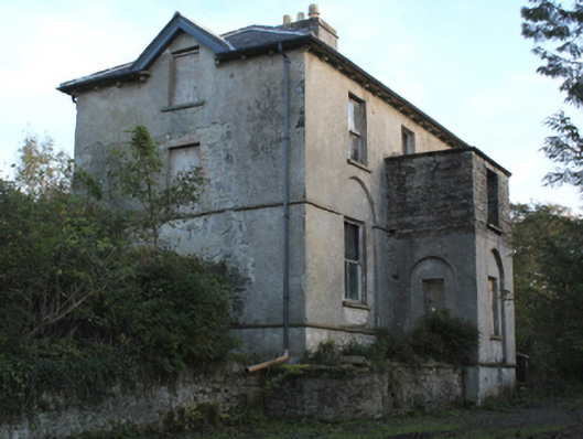 rectory/glebe/vicarage/curate's houserectory/glebe/vicarage/curate's house · 1303 yd
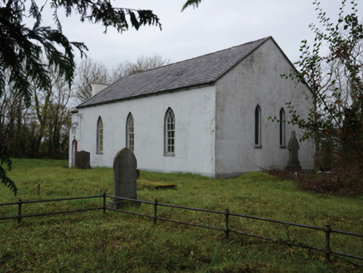 Mullafarry Presbyterian Churchchurch/chapel · 1373 yd
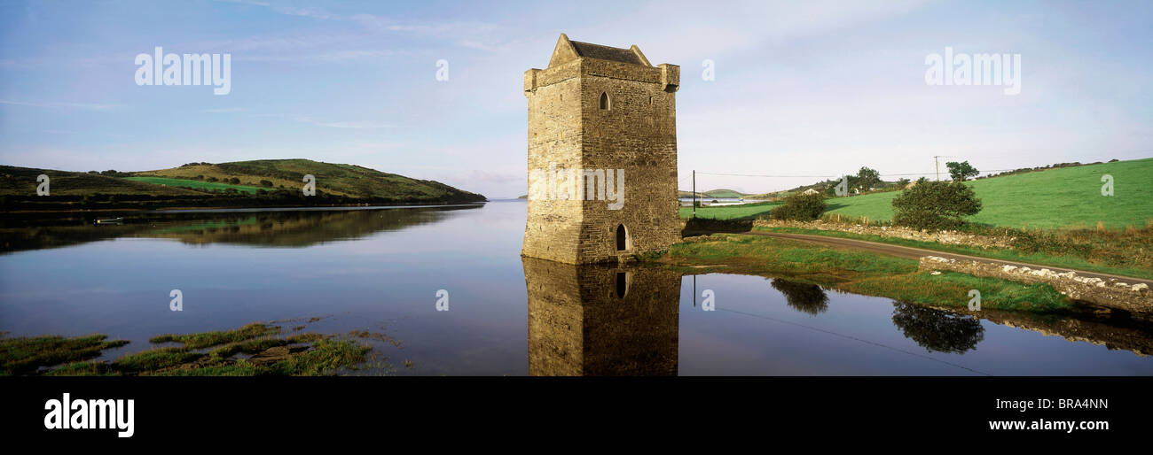 Cullahoof FortFairy fort / earthen ringfort · 1704 yd
 CastleCastle, unclassified · 1.1 mi
 Bawn in FarraghBawn · 1.5 mi
 Battlefields of MoyneBattlefield · 2.1 mi
 Battle of Killalabattle · 2.2 mi
 Moyne AbbeyHeritage attraction · 2.2 mi
 Gortabradawn PointHeadland · 2.5 mi
 Green IslandIslet · 2.5 mi
 Barnasock PointHeadland · 2.7 mi
Other information
Photo: Credit not shown in the picture search · Rights wording not checked; contact us if this picture should be removed