
What is recorded here
Rathtooreen is a surviving early medieval rath in Ballyscanlan, County Mayo, its western bank still rising a metre above the wet pasture while the eastern entrance opens onto the gentler knoll. The shallow ditch and levelled eastern scarp suggest farming hands absorbed the enclosure long before maps named it, yet the circular outline remains legible beneath the grass. Whoever built it likely stood at that eastern gap to watch rain move across the valley, knowing the bank would outlast the life that shaped it.
Rathtooreen is recorded as a archaeological place in County Mayo. Its open map record supplies this location and any linked names or public references.
Places near here
 RathduffFairy fort / earthen ringfort · 325 yd
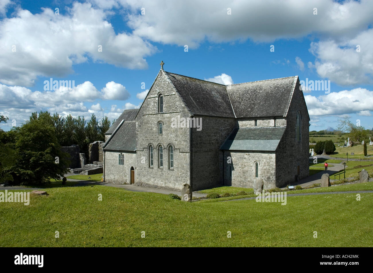 Enclosure in BallinlabaunEnclosure · 693 yd
 Grave of the KingsArchaeological place · 909 yd
 RathmoreCastle, motte · 1708 yd
 Catholic Church of Our Ladychurch/chapel · 1.1 mi
 Church in ruinsChurch · 1.1 mi
 Enaghmore Castle (in Ruins)Castle, unclassified · 1.7 mi
 Castle IslandIslet · 3.4 mi
 Roe IslandIslet · 3.7 mi
 Titanic Memorial ParkMemorial · 4.1 mi
 NephinMountain / peak · 4.9 mi
 KnockaffertaghMountain / peak · 7.6 mi
Other information
Photo: Credit not shown in the picture search · Rights wording not checked; contact us if this picture should be removed