
What is recorded here
Knockanroe Fort is a low grassy mound in Ballynastockagh, County Mayo, measuring roughly thirty-six by forty-eight metres and rising two metres above the wet pasture. An 1838 map marked a circular embanked enclosure there, but later editions reduced the site to a faded name because the boundary disappeared under grass and time. The mound may be a buried early medieval farmstead or merely a natural rise that people once lived upon, leaving behind no wall, gate or owner for the modern eye to hold.
Knockanroe Fort is recorded as a archaeological place in County Mayo. Its open map record supplies this location and any linked names or public references.
Places near here
 Knockanroe FortEnclosure · 14 yd
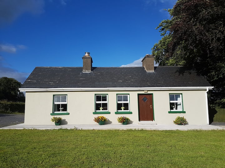 Enclosure in Cottage (costello By.)Enclosure · 554 yd
 Saint Mary's Catholic Churchchurch/chapel · 1066 yd
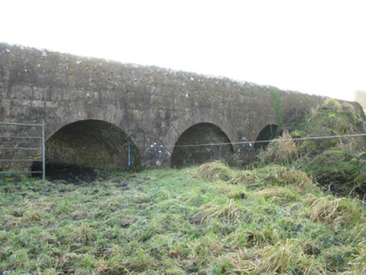 Agloragh Bridgebridge · 1.3 mi
 CastleCastle, unclassified · 1.8 mi
 Slieve DartMountain / peak · 4.8 mi
 Dunmore CastleCastle · 6.6 mi
 Oak WoodForest · 7.8 mi
 Land of the GiantsHeritage attraction · 8.6 mi
 Geoffrey's WoodForest · 8.7 mi
 Mass RockNamed rock · 14 mi
 LisgortnalassFairy fort / earthen ringfort · 702 yd
Other information
Photo: Credit not shown in the picture search · Rights wording not checked; contact us if this picture should be removed