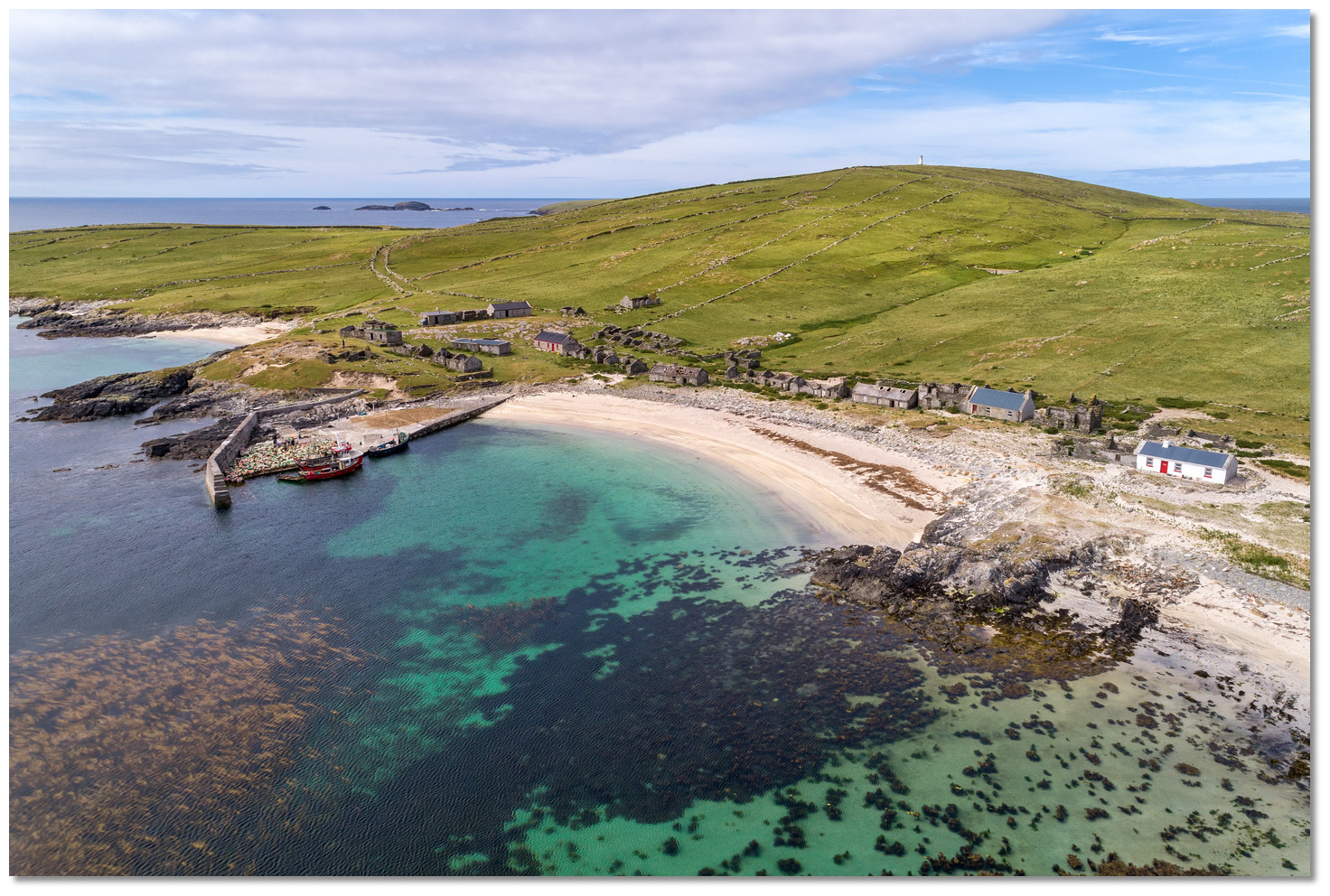
What is recorded here
Annagh Island holds a vanished earthen ringfort in Lough Conn, reduced now to a low curved scarp and a field fence cutting through its ghost. Maps from 1838 and 1930 still drew a clear thirty-metre circle, but the water, time and human convenience have sanded most of it away. What remains is a southern hint of bank, a northern absence, and an island that once kept a farming family safe behind rising earth.
Annagh Island is recorded as a islet in County Mayo. Its open map record supplies this location and any linked names or public references.
Places near here
 OoghmoreEnclosure · 534 yd
 Killadangan Megalithic ComplexArchaeological place · 969 yd
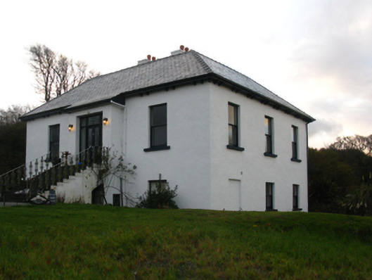 Killadangan Househouse · 1022 yd
 CastleCastle, unclassified · 1631 yd
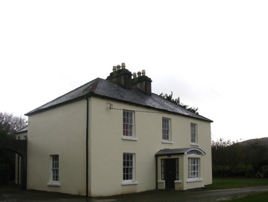 Shivdella Househouse · 1749 yd
 Site of Bawn CastleCastle, unclassified · 1.4 mi
 InishraherIslet · 1.7 mi
 National Famine MemorialHeritage attraction · 1.8 mi
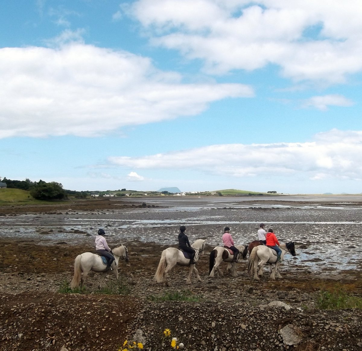 Croagh Patrick StablesHeritage attraction · 1.9 mi
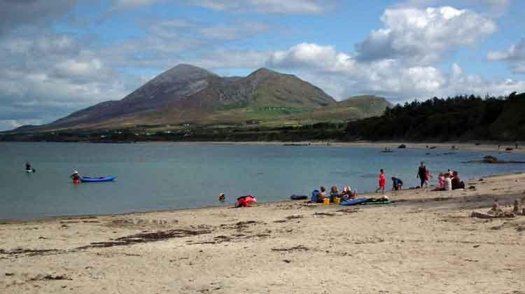 Garvillaun PointHeadland · 2.0 mi
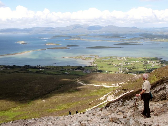 Croagh Patrick Pilgrim TrailWalking route · 2.1 mi
 Carrowcally PointHeadland · 2.1 mi
Other information
Photo: Credit not shown in the picture search · Rights wording not checked; contact us if this picture should be removed