What is recorded here
On top of a gently sloping hillock, in the SW quadrant of a ringfort (TS058-033----), in gently undulating pasture. According to local tradition, this was the location of a mass-rock. The mass-rock consists of a natural flat-topped outcrop (dims. 3.8m NW-SE; 1.8m NE-SW; H 0.8m) that appears to be of heavily eroded limestone. The surface is uneven and partially covered with moss and grass.
Compiled by: Jean Farrelly
Date of upload: 26 August 2011
The monument record does not grant public access. Check the route and ask the landowner before entering private land.
- What survives
- Recorded monument
Places near here
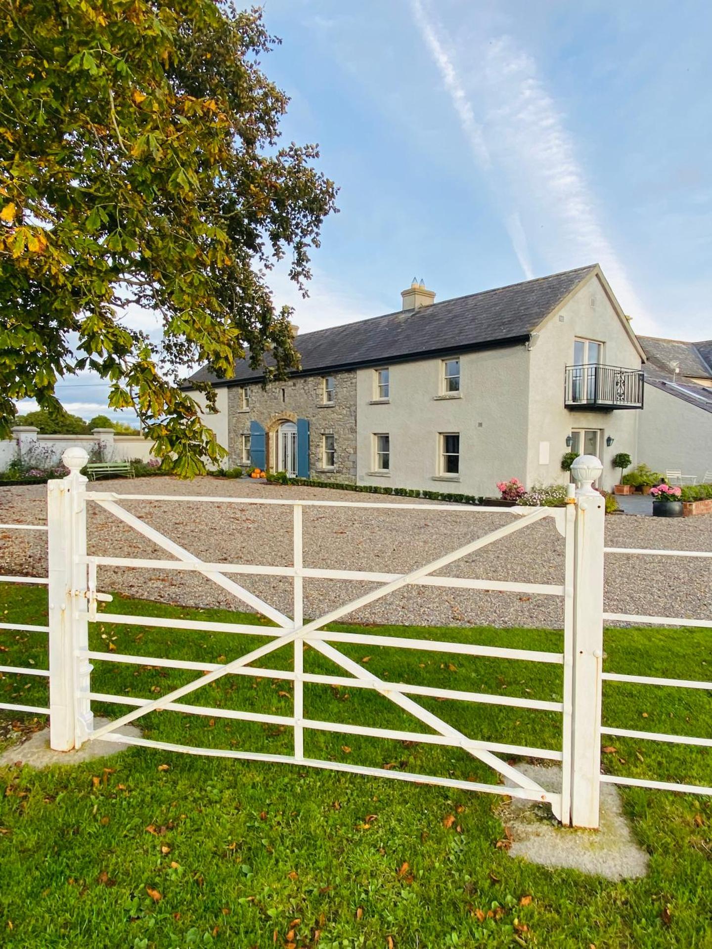 Fulacht fia in GortnabarnanFulacht fia · 973 yd
 Ladys WellHoly well · 995 yd
 RoadRoad, unclassified togher · 1014 yd
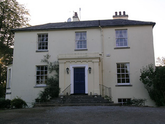 Beechwood Houserectory/glebe/vicarage/curate's house · 1019 yd
 RathduffCastle, ringwork · 1515 yd
 Site of Cullen CastleCastle, unclassified · 1730 yd
 Oola HillMountain / peak · 1.6 mi
 ToberagaddySpring · 5.1 mi
 KnockseefinMountain / peak · 6.0 mi
 Carn (site of)Cairn, burial cairn · 6.1 mi
 St Patrick's WellSpring · 8.3 mi
 Flat cemetery in Knockainy WestFlat cemetery · 8.8 mi