What is recorded here
Fairy fort / ringfort in Marlinstown is a fairy fort or ringfort in Marlinstown, County Westmeath, Ireland. Situated on a small rounded rise in gently undulating pasture, it offers extensive views to the east and west while being overlooked by higher ground to the west and north. The 1837 edition of the Ordnance Survey six-inch map depicts the site as an oval-shaped enclosure measuring approximately 40 metres north-south and 42 metres east-west, annotated as a fort. A later 1913 edition of the Ordnance Survey twenty-five-inch map shows it as an irregular-shaped earthwork, though a 1970 account described the levelled monument as having no visible surface remains.
Situated on a small rounded rise, in gently undulating pasture, with extensive views to E and W and overlooked by higher ground to W and N. Depicted on the 1837 ed. OS 6-inch map as an oval-shaped enclosure (approx. dims. 40m N-S; 42m E-W), annotated 'Fort' on the 1837 OS Fair Plan map. Depicted on the revised 1913 ed. OS 25-inch map as an irregular-shaped earthwork. Levelled monument described in 1970 as no surface remains visible. No visible trace of monument on Digital Globe aerial photography.
See attached profile of monument surveyed and drawn by the ASI.
Compiled by: Alison McQueen, Vera Rahilly and Caimin O’Brien
Date of upload: 05 June 2019
This remains an important historical record, but the official description says the monument is no longer visible or has been destroyed. The monument record does not grant public access. Check the route and ask the landowner before entering private land.
- What survives
- No visible remains or recorded as destroyed
Places near here
 Hut site in ArdmoreHut site · 855 yd
 OutlinedFairy fort / ringfort · 1216 yd
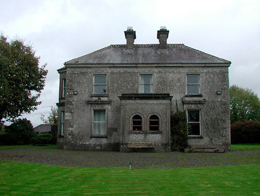 Russellstown Housecountry house · 1218 yd
 Boardstown Castle (in Ruins)Castle, tower house · 1393 yd
 CastleCastle, tower house · 1474 yd
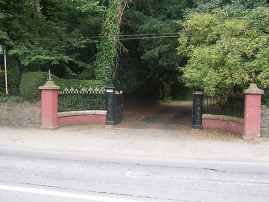 Glenmoredemesne walls/gates/railings · 1.3 mi
 Augustinian Monks Memorial StatueMemorial · 1.8 mi
 The Chimera GalleryGallery · 2.0 mi
 Famine MemorialMemorial · 2.0 mi
 Mullingar Cathedral MuseumMuseum · 2.1 mi
 Saint Brigid's WellSpring · 3.4 mi
 Long PlantingForest · 4.1 mi